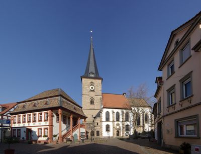
Freinsheim, town in the rural district Bad Dürkheim, Rhineland-Palatinate, Germany
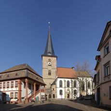
Freinsheim is a municipality in Germany featuring a compact historic town center. The place has a distinct old town area with half-timbered and stone buildings arranged in a recognizable layout that defines its character.
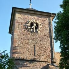
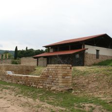
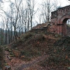
The town developed in the Middle Ages at a strategic location along the Frein stream. The remaining walls and gates show it was built as a fortified settlement to protect regional trade routes.
The town's name comes from the Frein stream that shaped the early settlement. Today the narrow streets and restored half-timbered houses still show the medieval layout that influences how locals and visitors move through the place.
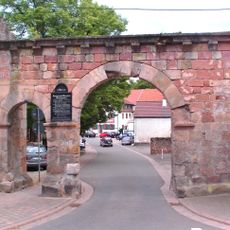
Access to the old town is best through the historic gates that still serve as main entry points. Visitors find it helpful to walk slowly through the streets since they are narrow and there is much detail to notice.
The town has preserved an unusual completeness of its medieval fortifications, with wall sections and two working gates still in place. Many visitors overlook that you can walk along the top of the walls, which gives a different view of the houses and streets below.
The community of curious travelers
AroundUs brings together thousands of curated places, local tips, and hidden gems, enriched daily by 60,000 contributors worldwide.