Braubach, municipality of Germany
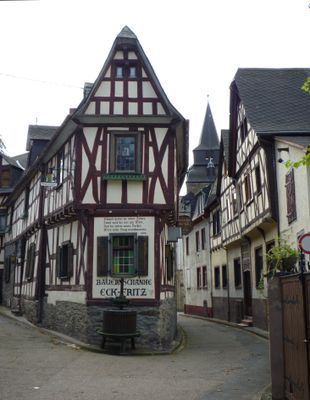
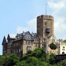
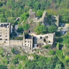
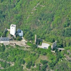
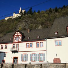
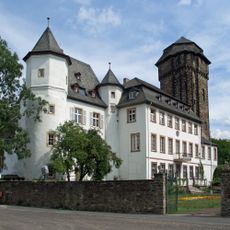
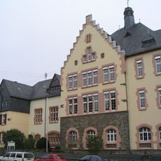
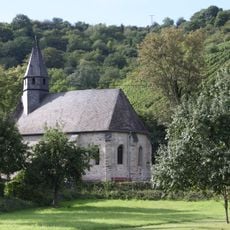
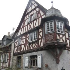
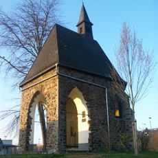
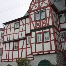
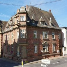
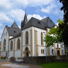
Braubach is a small town in the Rhine Valley with medieval character and narrow, winding streets lined with historic buildings. It is dominated by Marksburg, a fortress on a hilltop that has never been destroyed, and surrounded by well-preserved town walls dating back centuries.
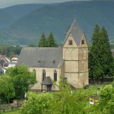
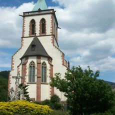
The town was first recorded around the year 933 and served as a center for wine production and metal mining over the centuries. It changed rulers multiple times but gained importance through its strategic location on the Rhine and the never-conquered Marksburg fortress that still dominates the skyline.
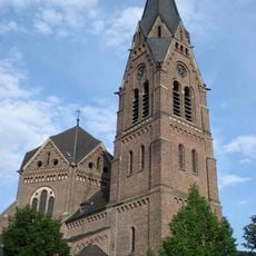
The town has carried its name for over a thousand years and remains deeply rooted in Rhine Valley traditions. The narrow streets and small squares serve as gathering places where locals and visitors experience regional festivals featuring traditional music and food throughout the year.
The old town is compact and easy to explore on foot, with shops and cafes nearby where you can try local foods. Parking is available outside the town center, and the flat layout makes it simple to walk through the historic streets and reach nearby sights.
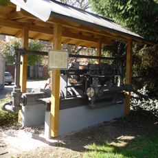
Marksburg is the only medieval castle on the Rhine that was never destroyed and remains intact in its original form. Lead and silver mining took place here in the 1700s, and old chimneys still visible on the mountainside are reminders of this industrial past.
The community of curious travelers
AroundUs brings together thousands of curated places, local tips, and hidden gems, enriched daily by 60,000 contributors worldwide.