
Welschenbach, municipality of Germany
Location: Mayen-Koblenz
Elevation above the sea: 450 m
Website: http://vordereifel.de
GPS coordinates: 50.36389,7.06417
Latest update: March 6, 2025 13:05
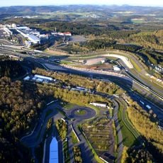
Nürburgring
8.9 km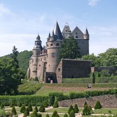
Bürresheim Castle
8.3 km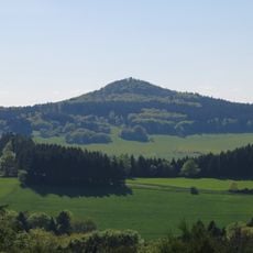
Hohe Acht
4.5 km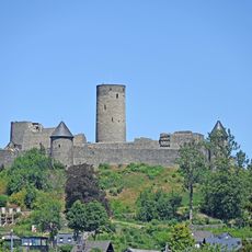
Nürburg Castle
8.1 km
Historic paddock Nürburgring
8.6 km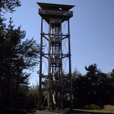
Booser Eifelturm
6.6 km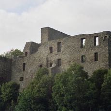
Virneburg Castle
2.5 km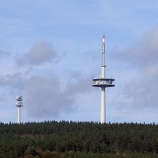
Fernmeldeturm Heckenbach-Schöneberg
7.5 km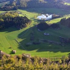
Booser Doppelmaar
7.4 km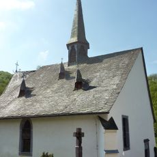
St. Jost
2.6 km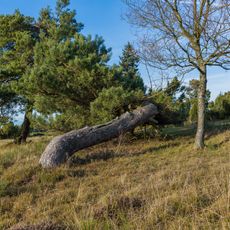
Dr. Heinrich-Menke-Park
2.9 km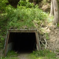
Bendisberg mine
2.7 km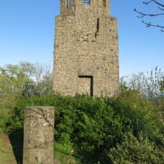
Kaiser-Wilhelm-Turm
4.5 km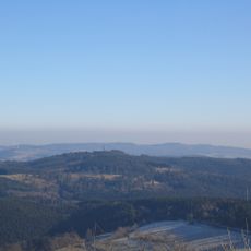
Raßberg
2.8 km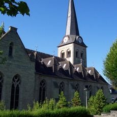
St. Philippus und Jakobus (Kempenich)
7.4 km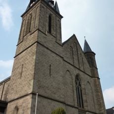
St. Barbara (Weibern)
7.4 km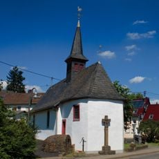
St. Rochus and Sebastian
8.1 km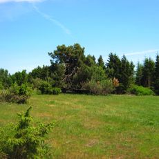
Wacholderheiden Rassberg und Heidbueschel
3.6 km
Kreuzkapelle
6.7 km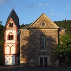
St. Servatius
5.7 km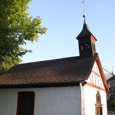
Buttermarktkapelle St. Michael
8.6 km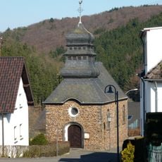
St. Wendalinus (Jammelshofen)
3.9 km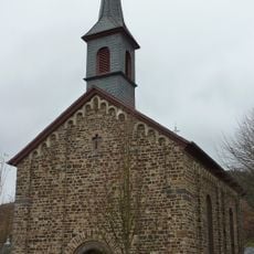
Schutzengelkapelle (Herresbach)
3.2 km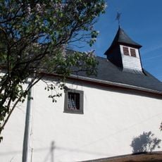
St. Georg
7.1 km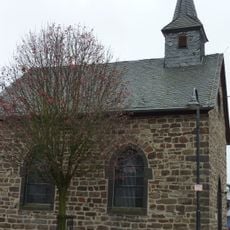
St. Lüfthildis
4.4 km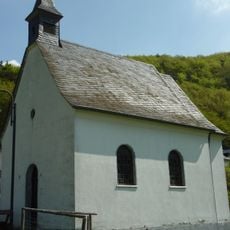
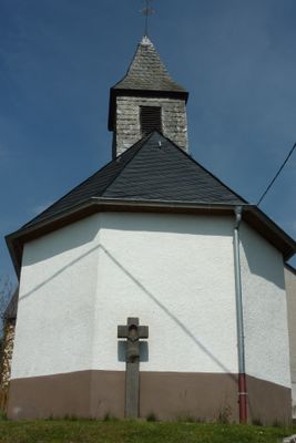
St. Antonius
773 m
Hohe Acht
4.4 km
Classic-Race Museum
3.9 kmVisited this place? Tap the stars to rate it and share your experience / photos with the community! Try now! You can cancel it anytime.
Discover hidden gems everywhere you go!
From secret cafés to breathtaking viewpoints, skip the crowded tourist spots and find places that match your style. Our app makes it easy with voice search, smart filtering, route optimization, and insider tips from travelers worldwide. Download now for the complete mobile experience.

A unique approach to discovering new places❞
— Le Figaro
All the places worth exploring❞
— France Info
A tailor-made excursion in just a few clicks❞
— 20 Minutes