
Weisenheim am Berg, municipality of Germany
Location: Freinsheim (Verbandsgemeinde)
Elevation above the sea: 230 m
Website: https://weisenheim.de
GPS coordinates: 49.51194,8.15028
Latest update: March 7, 2025 15:11
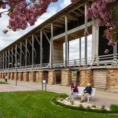
Gradierwerk
5.5 km
Giant Cask
5.4 km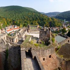
Hardenburg
5.9 km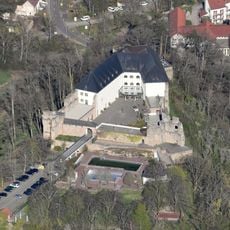
Altleiningen Castle
4.9 km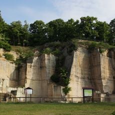
Kriemhildenstuhl
5.4 km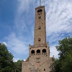
Bismarck Tower
4 km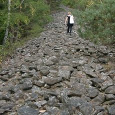
Heidenmauer
5.3 km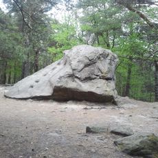
Teufelsstein
4.7 km
Bad Dürkheim lift
4.8 km
Ludwigskirche Bad Dürkheim
5.7 km
Schlosskirche Bad Dürkheim
5.7 km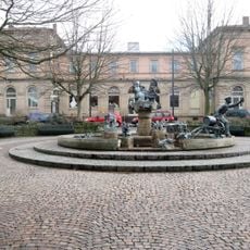
Bad Dürkheim station
5.9 km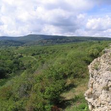
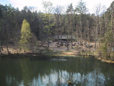
Felsenberg-Berntal
1.7 km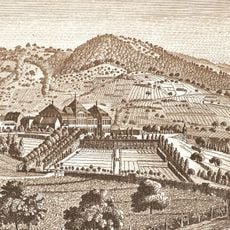
Schloss Dürkheim
5.7 km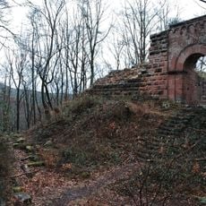
Burg Schlosseck
6 km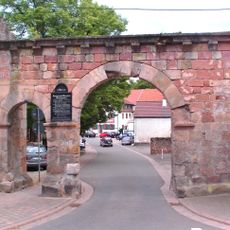
Kloster Höningen
5.8 km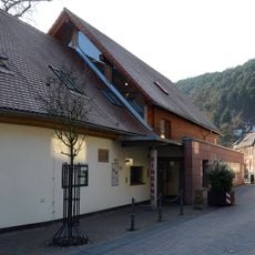
Palatinate Museum of Natural History
5.6 km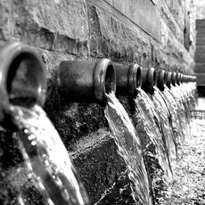
20-Pipe Well
5 km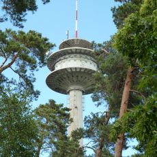
Fernmeldeturm Weilerskopf
3 km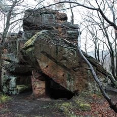
Nonnenfels
5.6 km
Kurhaus
5.7 km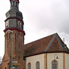
Church of Our Saviour
2.8 km
Dürkheimer Haus
5.9 km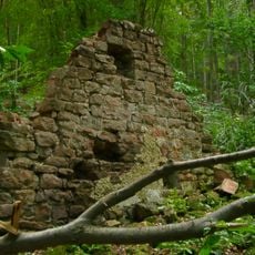
Hofruine Weilach
4.1 km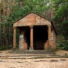
Laurahütte
2.4 km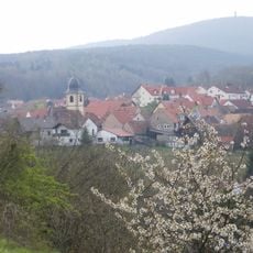
Peterskopf
3.9 km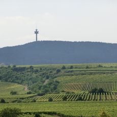
Weilerskopf
2.9 km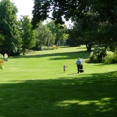
Kurpark Bad Dürkheim
5.6 kmVisited this place? Tap the stars to rate it and share your experience / photos with the community! Try now! You can cancel it anytime.
Discover hidden gems everywhere you go!
From secret cafés to breathtaking viewpoints, skip the crowded tourist spots and find places that match your style. Our app makes it easy with voice search, smart filtering, route optimization, and insider tips from travelers worldwide. Download now for the complete mobile experience.

A unique approach to discovering new places❞
— Le Figaro
All the places worth exploring❞
— France Info
A tailor-made excursion in just a few clicks❞
— 20 Minutes