
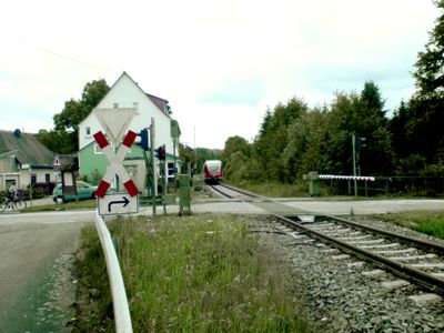
Matzenbach, municipality of Germany
Location: Oberes Glantal
Elevation above the sea: 210 m
Website: http://www.matzenbach.de
Website: http://matzenbach.de
GPS coordinates: 49.49556,7.46056
Latest update: March 14, 2025 13:28
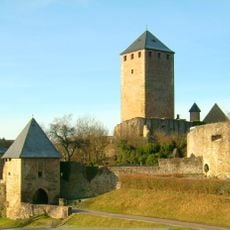
Lichtenberg Castle
10.1 km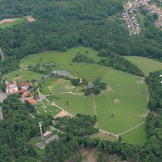
Potzberg
3.2 km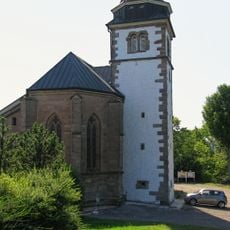
Remigiusberg
3.3 km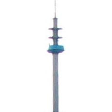
Fernmeldeturm Bornberg
9.4 km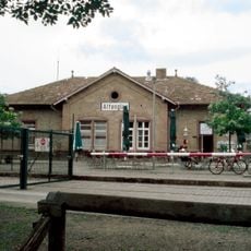
Altenglan station
5.8 km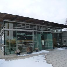
Urweltmuseum GEOSKOP
10.1 km
Remigiusberg
3.3 km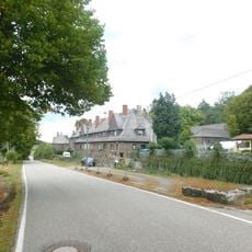
Schneeweiderhof
9.1 km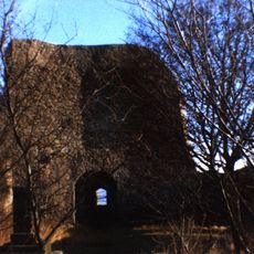
Michelsburg
3.3 km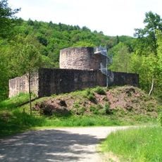
Sprengelburg
10.5 km
Freizeitbad Azur
9.6 km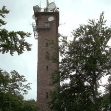
Potzberg tower
3.2 km
Musikantenland Museum
10.1 km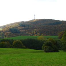
Bornberg
9.4 km
Saint-Remi Priory of Haschbach am Remigiusberg
3.3 km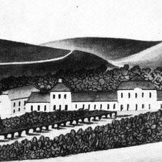
Schloss Pettersheim
8.8 km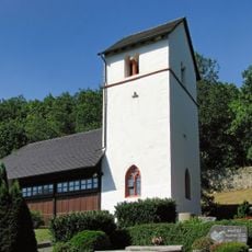
Wolfskirche
6.5 km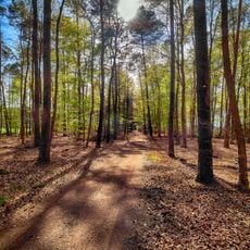
Schachenwald
9.8 km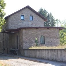
Bahnhof Ulmet
10 km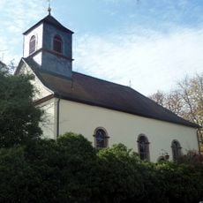
Unionskirche
2.4 km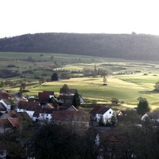
Herrmannsberg
9.7 km
Heidenburg
4.7 km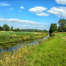
Glanniederung bei Elschbach
9 km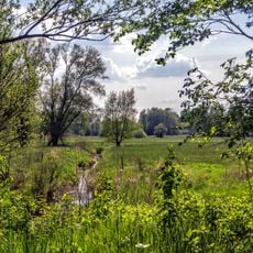
Westricher Moorniederung
9.5 km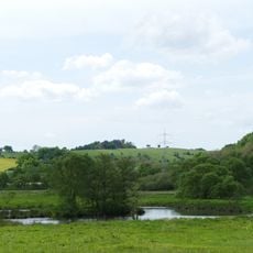
Heimerbrühl
7.5 km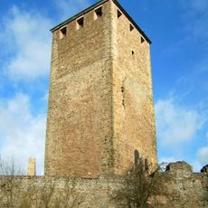
Bergfried
10.1 km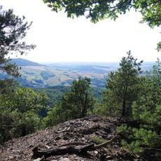
Koenigsland
8.8 km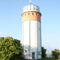
Henschtal Water Tower
5.9 kmReviews
Visited this place? Tap the stars to rate it and share your experience / photos with the community! Try now! You can cancel it anytime.
Discover hidden gems everywhere you go!
From secret cafés to breathtaking viewpoints, skip the crowded tourist spots and find places that match your style. Our app makes it easy with voice search, smart filtering, route optimization, and insider tips from travelers worldwide. Download now for the complete mobile experience.

A unique approach to discovering new places❞
— Le Figaro
All the places worth exploring❞
— France Info
A tailor-made excursion in just a few clicks❞
— 20 Minutes