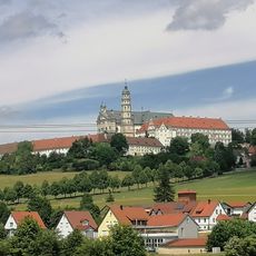
Neresheim, municipality in Germany
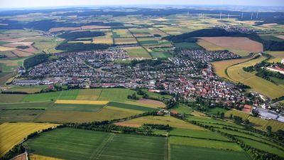
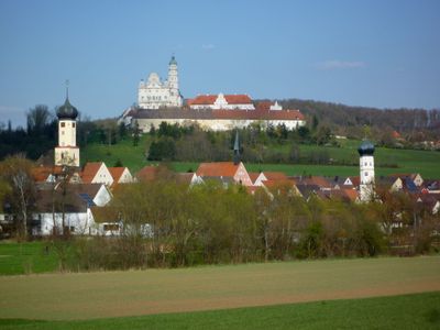
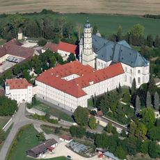
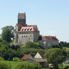
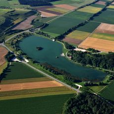
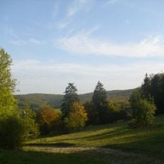
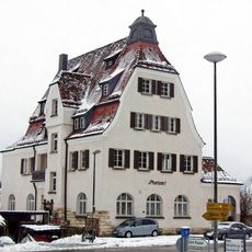
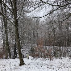
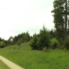
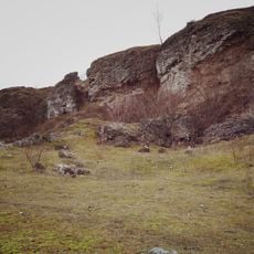
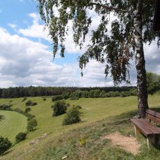
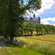
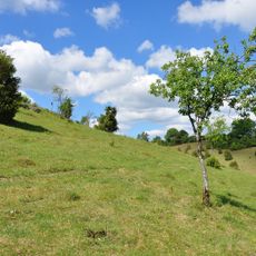
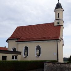
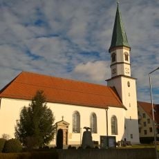
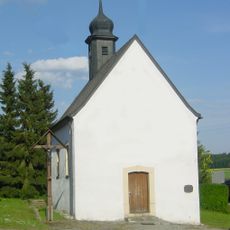
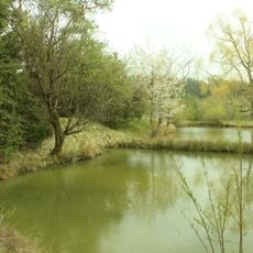
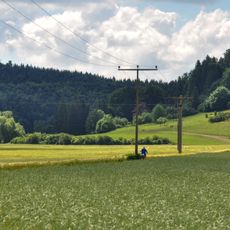
Neresheim is a town in the Ostalbkreis district of Baden-Württemberg, situated in the Swabian Alps region. The settlement developed as a market center and features a traditional old town with historic buildings, while the surrounding landscape is characterized by woodland and rolling hills.
Neresheim looks back on a long history as a trading place with origins reaching back to the Middle Ages. The town was reshaped several times over the centuries but continues to define the region's character as an established center.
The town center is easy to explore on foot and main attractions are close to one another. Visitors find shops, restaurants, and local services typical of a medium-sized German town.
The community of curious travelers
AroundUs brings together thousands of curated places, local tips, and hidden gems, enriched daily by 60,000 contributors worldwide.