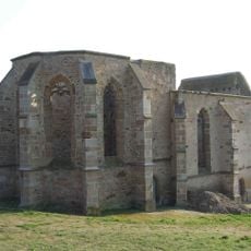
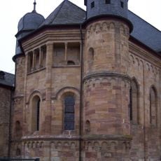
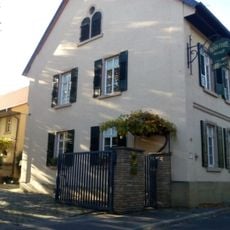
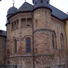
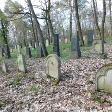
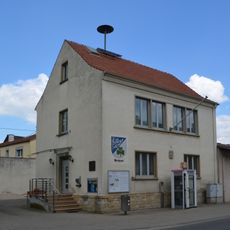
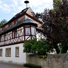
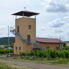
Wöllstein, municipality of Germany
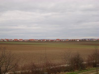
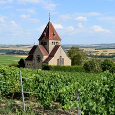
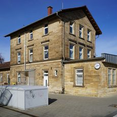
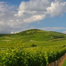
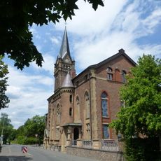
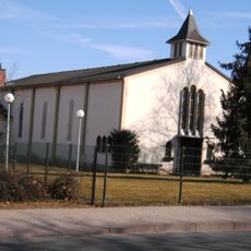
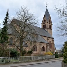
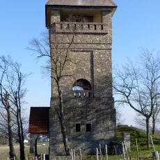
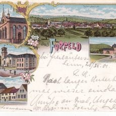
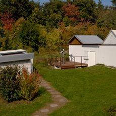
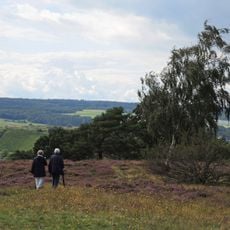
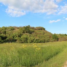
Wöllstein is a municipality in the Alzey-Worms district of Rhineland-Palatinate, composed of several smaller settlements spread across the landscape. The area features rolling farmland, open fields, and residential neighborhoods characteristic of this rural region.
The area around Wöllstein was shaped as agricultural land over many centuries, developing as a small rural settlement. Today it functions as an administrative municipality that brings together multiple small villages under one local government structure.
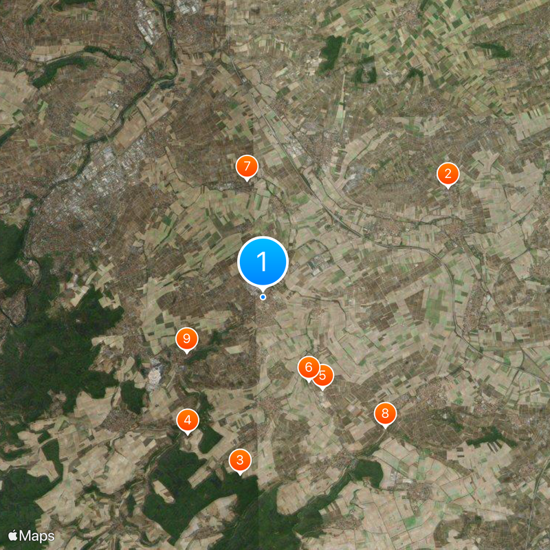
Wöllstein is easiest to explore by car, as the separate villages are connected by local roads and spread across the countryside. Public transportation is limited, so having your own transport allows more flexibility for visiting the different settlements.
The community of curious travelers
AroundUs brings together thousands of curated places, local tips, and hidden gems, enriched daily by 60,000 contributors worldwide.