
Selmsdorf, municipality of Germany
Location: Nordwestmecklenburg District
Elevation above the sea: 55 m
Part of: Hamburg Metropolitan Region
Website: http://selmsdorf.de
GPS coordinates: 53.86667,10.86667
Latest update: March 8, 2025 19:33
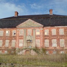
Schloss Johannstorf
8.2 km
Dassower See
5 km
Dummersdorfer Ufer
5.8 km
Border musem Lübeck-Schlutup
4.5 km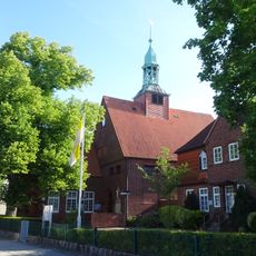
St. Joseph
6.3 km
LSG Palingener Heide und Halbinsel Teschow
2.6 km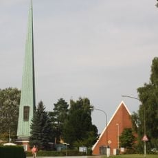
Dreifaltigkeitskirche
6.6 km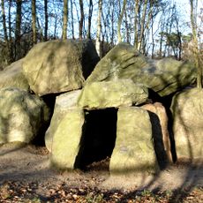
Pöppendorfer Großsteingrab
7.8 km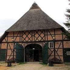
Forsthaus Waldhusen
7.6 km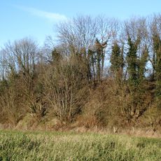
Pöppendorfer Ringwall
8 km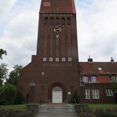
St. Johannes
6.5 km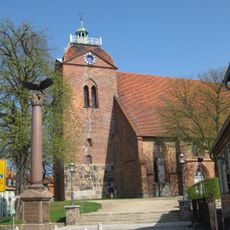
St. Laurentius
5 km
Industriemuseum Geschichtswerkstatt Herrenwyk
5.8 km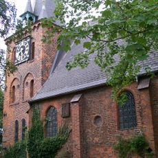
St. Andreas
5.8 km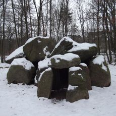
Archäologisch-naturkundlicher Wanderweg Lübeck
8 km
St. Nikolaikirche
6.6 km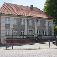
Volkskundemuseum in Schönberg
5 km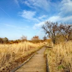
Südlicher Priwall
8.9 km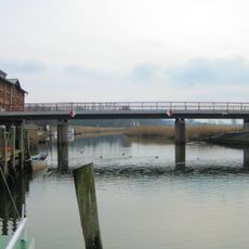
Dassower Brücke
8 km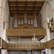
Organo di San Lorenzo (Schönberg)
5 km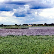
Dassower See, Inseln Buchhorst und Graswerder (Plönswerder)
6.2 km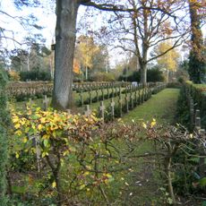
Friedhof Waldhusen
7 km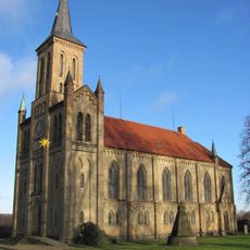
St.-Marien-Kirche
1.4 km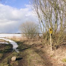
Uferzone Dassower See
7.2 km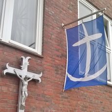
Seemannsmission Lübeck
6.4 km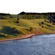
NSG Dummersdorfer Ufer
5.9 km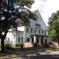
Orpheum-Lichtspiele
4.4 km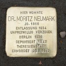
Stolperstein dedicated to Moritz Neumark
5.7 kmVisited this place? Tap the stars to rate it and share your experience / photos with the community! Try now! You can cancel it anytime.
Discover hidden gems everywhere you go!
From secret cafés to breathtaking viewpoints, skip the crowded tourist spots and find places that match your style. Our app makes it easy with voice search, smart filtering, route optimization, and insider tips from travelers worldwide. Download now for the complete mobile experience.

A unique approach to discovering new places❞
— Le Figaro
All the places worth exploring❞
— France Info
A tailor-made excursion in just a few clicks❞
— 20 Minutes