Chest opened
+${chestReward.xp} XP
Explorer
NOUVEAU ×${chestReward.collectible.quantity}
tapez pour fermer

See the monuments around you in AR Open chests in the app

Around Us is built for your phone — point your camera at the streets and discover the monuments and places around you in augmented reality. Around Us is built for your phone — chests unlock when you walk, explore and capture nearby places.

•

Enable Location

We need your location to show you interesting places around you

Discover nearby places

Find interesting locations and hidden gems around you

Precise directions

Get accurate directions and distances to places

Your location is never shared with other users. It's only used when you tap the location button.

LSG Palingener Heide und Halbinsel Teschow

Log in to your account

Start exploring — it's free

Trusted by 93,345 travelers worldwide

Continue with Google
Continue with Apple
or

We will send you a code to connect

By continuing, you accept our Terms and Conditions and our Privacy Policy

Check your inbox

We've sent a pincode in your inbox. Please enter the code below.

LSG Palingener Heide und Halbinsel Teschow

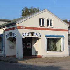
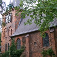
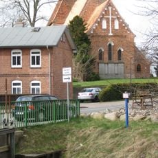
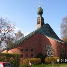
LSG Palingener Heide und Halbinsel Teschow, Protected landscape in Nordwestmecklenburg District, Germany

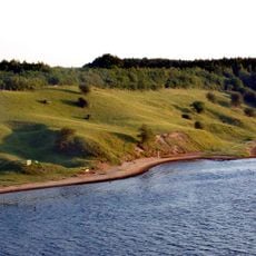
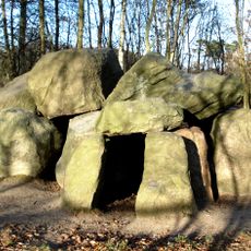
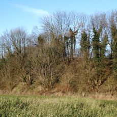
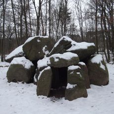
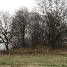
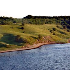
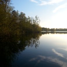
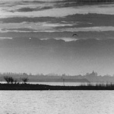
The LSG Palingener Heide und Halbinsel Teschow is a protected landscape (Landschaftsschutzgebiet, not a nature reserve) established in 2011 across Selmsdorf, Lüdersdorf and Dassow. Its northern part holds the Teschow peninsula on the lower Trave, with a steep bank rising to 30.2 m; the main section is the Palinger Heide, whose nutrient-poor basin sands of the Lübeck basin formed inland dunes, now largely wooded.

The area received formal protection status in April 2011, closing the final gap in a biotope corridor along the former inner German border. This decision was part of efforts to safeguard the natural landscape of the region for future generations.

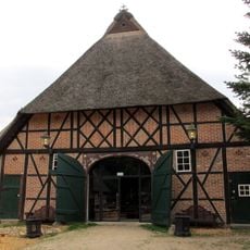
The name Palinger Heide refers to the heath between Palingen and the state border. The forest district Hohe Meile, formerly grand-ducal, is named after a forest site on the road to Lübeck; the settlement Hohemiele consisted of the forest farm and the Tannenkrug inn, a busy stop on the Lübeck–Wismar road. The nearby village Bardowiek became deserted after the border was drawn.

Visitors can explore multiple nature reserves within the protected area on foot or by bicycle, including shoreline zones along lakes and river landscapes. The best time to visit is during warmer months, when paths are easily accessible and more birds and wildlife are visible.

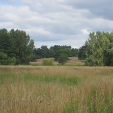
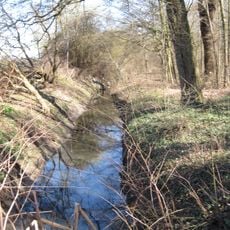
The inland dunes of the Palinger Heide formed on fine-grained, nutrient-poor basin sands of the Lübeck Basin; most are now wooded. The area also holds the Möwenmoor, Hoppenmoor, Petrusmoor, Kiebitzmoor and Steinbeckenmoor bogs, and the 30.2 m elevation near the Trave is among the highest points in the district's coastal strip.

The community of curious travelers

AroundUs brings together thousands of curated places, local tips, and hidden gems, enriched daily by 93,345 contributors worldwide.

Start exploring
Inception
April 26, 2011
GPS coordinates
53.87920,10.83240
Latest update
October 25, 2026 10:40
Reviews
Share your experience

No review yet

Discussions
Start a discussion...

No discussion yet

« LSG Palingener Heide und Halbinsel Teschow - Protected landscape in Nordwestmecklenburg District, Germany » is provided by Around Us (aroundus.com). Images and texts are derived from Wikimedia project under a Creative Commons license. You are allowed to copy, distribute, and modify copies of this page, under the conditions set by the license, as long as this note is clearly visible.

Discover hidden gems everywhere you go!

From secret cafés to breathtaking viewpoints, skip the crowded tourist spots and find places that match your style. Our app makes it easy with voice search, smart filtering, route optimization, and insider tips from travelers worldwide. Download now for the complete mobile experience.
Around Us App Screenshot
❝

A unique approach to discovering new places❞

— Le Figaro

❝

All the places worth exploring❞

— France Info

❝

A tailor-made excursion in just a few clicks❞

— 20 Minutes

Around Us
Travel Guide & Maps
Download

Send to your phone

QR Code
1

Open the camera app on your mobile.

2

Point at the QR code with your camera. A notification will appear.

3

Tap the notification to open the link.