Treis-Karden, municipality of Germany
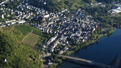
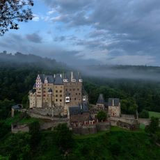
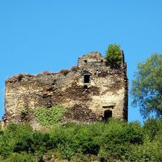
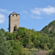
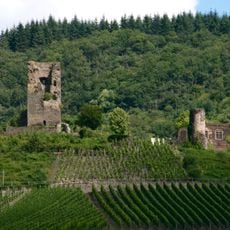
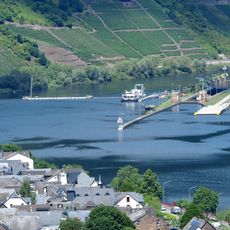
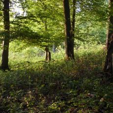
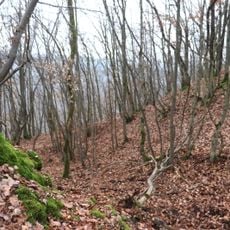
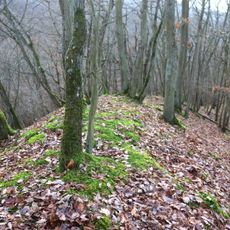
Treis-Karden is a small municipality in the Cochem-Zell region located along the Moselle River and made up of two closely connected towns. Rolling hills covered with vineyards define the landscape, while the river flows through the valley past historic buildings and castle ruins that shape the character of the place.
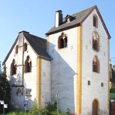
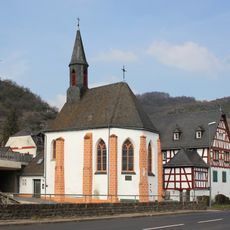
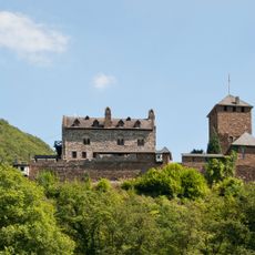
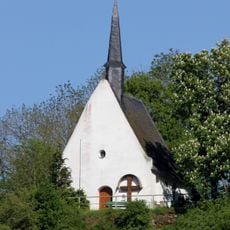
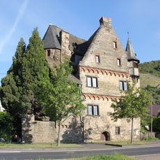
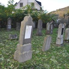
The settlement developed at an old crossing of trade routes and has been occupied since Celtic and Roman times. The founding of a monastery in the Middle Ages made it an important religious center, and its influence is reflected in many preserved structures from the 12th to 18th centuries.
The town grew at the crossing of old trade routes and maintains that character today. Walking through the streets, you see traditional stone and timber houses that reflect centuries of settlement and shape daily life.
The town is easy to reach by train from Koblenz or Trier, with the station located right at the river. During summer, boats also stop here twice daily, offering a relaxed way to arrive by water.
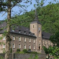
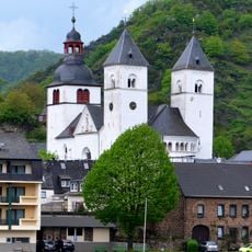
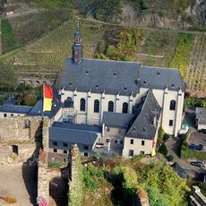
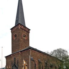
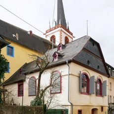
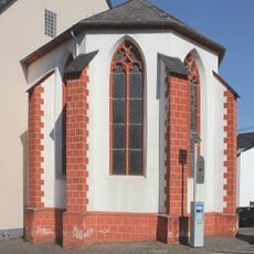
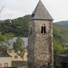
The St. Castor church with its towers visible from far away was originally a collegiate institution and today houses the Abbey Museum with artifacts from the 12th to 18th centuries. Right beside it are the remains of the monastery and various historic buildings that show how important this place once was.
The community of curious travelers
AroundUs brings together thousands of curated places, local tips, and hidden gems, enriched daily by 60,000 contributors worldwide.