
Laufeld, municipality of Germany
Location: Bernkastel-Wittlich
Elevation above the sea: 400 m
Website: https://www.gemeinde-laufeld.de/
Website: https://gemeinde-laufeld.de
GPS coordinates: 50.07861,6.86389
Latest update: March 14, 2025 10:44
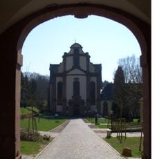
Himmerod Abbey
9.5 km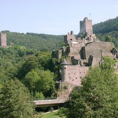
Castles of Manderscheid
3.6 km
Holzmaar
4.6 km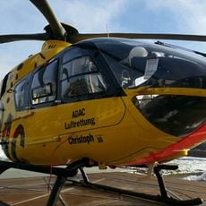
Christoph 10 (air ambulance)
9 km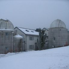
Hoher List Observatory
9.3 km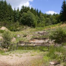
Eckfelder Maar
5.2 km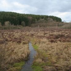
Strohner Maarchen
6.7 km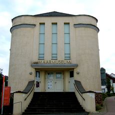
Maar Museum
4.3 km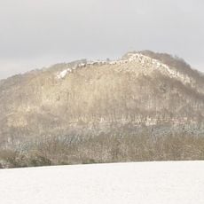
Buer Berg
10.1 km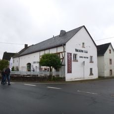
Vulkanhaus Strohn
5.4 km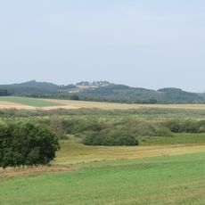
Muermes
8.7 km
Wacholdergelaende bei Bleckhausen
6.6 km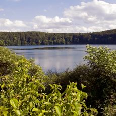
Pulvermaar mit Römerberg und Strohner Märchen
7.2 km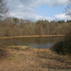
Reihenkrater Mosenberg und Horngraben
5.7 km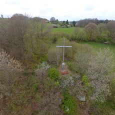
Aarley-Kreuz
10 km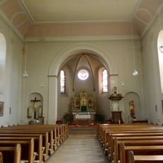
St. Bartholomäus
9.3 km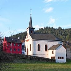
St. Barbara
9.3 km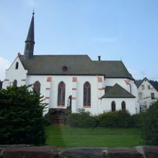
St. Simon und Juda
10 km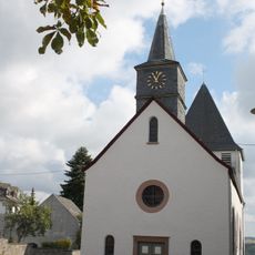
St. Antonius
8.1 km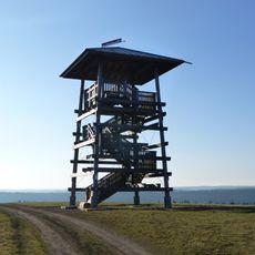
Landesblick
8.2 km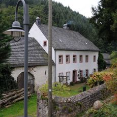
Pfarrhaus
8 km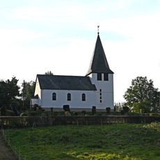
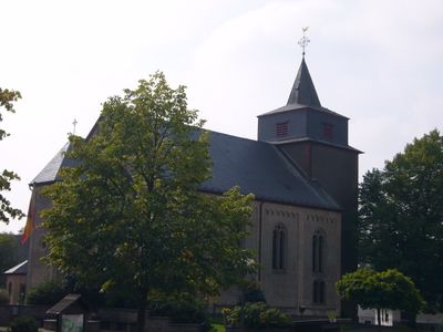
Saint Thecla Church
8.5 km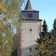
St. Willibrord
43 m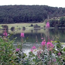
Immerather Maar
8.3 km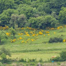
Meerfelder Maar
8.6 km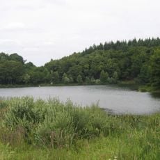
Holzmaar
4.6 km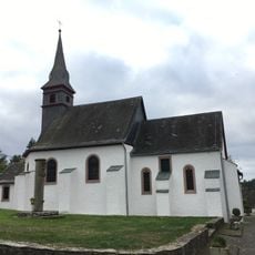
St. Blasius
5.4 km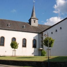
St. Jakobus
5.8 kmReviews
Visited this place? Tap the stars to rate it and share your experience / photos with the community! Try now! You can cancel it anytime.
Discover hidden gems everywhere you go!
From secret cafés to breathtaking viewpoints, skip the crowded tourist spots and find places that match your style. Our app makes it easy with voice search, smart filtering, route optimization, and insider tips from travelers worldwide. Download now for the complete mobile experience.

A unique approach to discovering new places❞
— Le Figaro
All the places worth exploring❞
— France Info
A tailor-made excursion in just a few clicks❞
— 20 Minutes