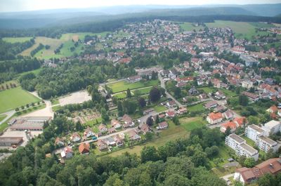
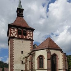
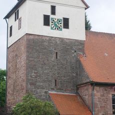
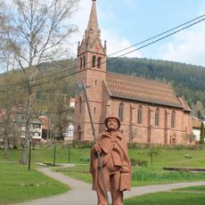
Schömberg, municipality in the district of Calw, Baden-Württemberg, Germany
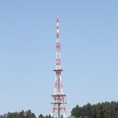
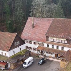
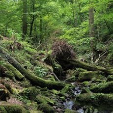
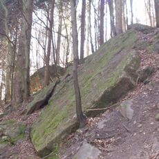
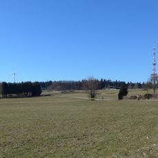
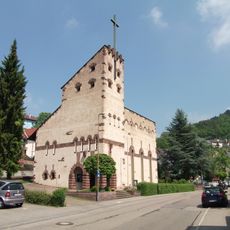
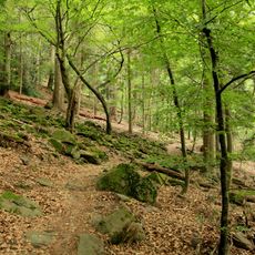
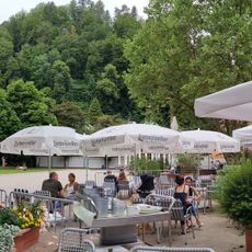
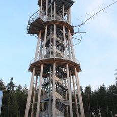
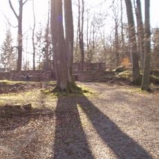
Schömberg is a small municipality in the Black Forest region that functions as a spa town set in a peaceful, hilly landscape. The village offers the typical amenities of a health resort where visitors can experience proximity to nature and quiet woodlands.
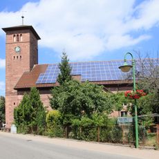
The village originated in the Black Forest region and later developed into a spa town to benefit from local mineral springs. The infrastructure as a health resort has shaped the community to this day.
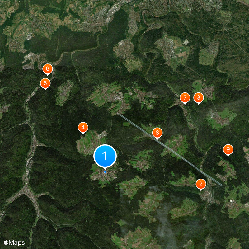
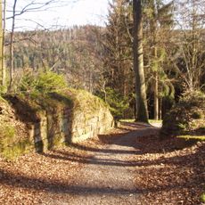
Visitors will find good paths through the forested surroundings that can be explored on foot or by bicycle. The resort infrastructure makes it easy to navigate and access local services.
The community of curious travelers
AroundUs brings together thousands of curated places, local tips, and hidden gems, enriched daily by 60,000 contributors worldwide.