
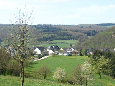
Gehlweiler, municipality of Germany
Location: Rhein-Hunsrück-Kreis
Elevation above the sea: 290 m
Website: http://www.gehlweiler.de
Shares border with: Gemünden, Rohrbach
Website: http://gehlweiler.de
GPS coordinates: 49.88333,7.46611
Latest update: March 16, 2025 22:56
Schmidtburg
6.8 km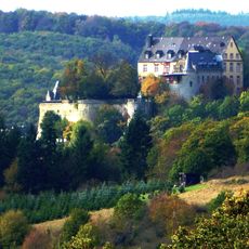
Schloss Dhaun
7.9 km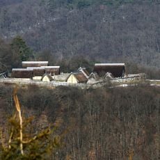
Altburg (Bundenbach)
6.6 km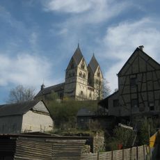
Kloster Ravengiersburg
5.9 km
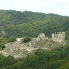
Burg Koppenstein
1.8 km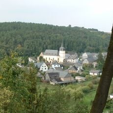
Protestant Church (Hausen Hunsrueck)
6.8 km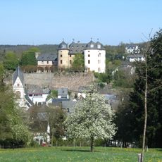
Schloss Gemünden
1.6 km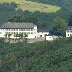
Schloss Wartenstein
9.3 km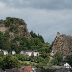
Steinkallenfels Castle
9.7 km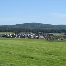
Alteburg
5.8 km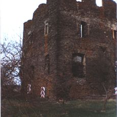
Burg Dill
9.4 km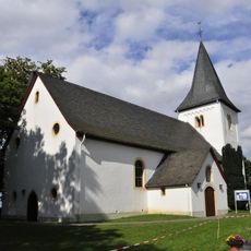
Nunkirche
6.9 km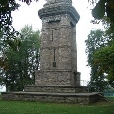
Bismarck Tower
7.2 km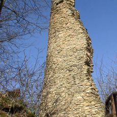
Burg Brunkenstein
8.5 km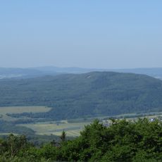
Womrather Höhe
3.6 km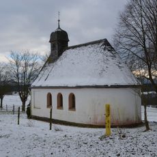
Wernerkapelle (Womrath)
4.3 km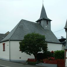
Protestant Church (Bollenbach)
9.4 km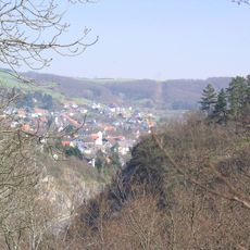
Burg Rotenberg
8.7 km
Hellberg bei Kirn
10.4 km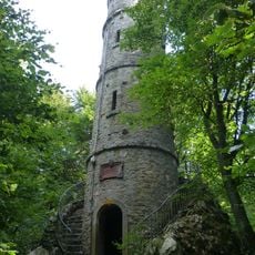
Alteburg Tower
5.8 km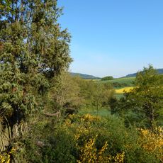
Wacholderheide bei Rohrbach
1.9 km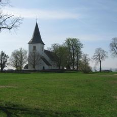
Nunkirche mit Rochusfeld
7 km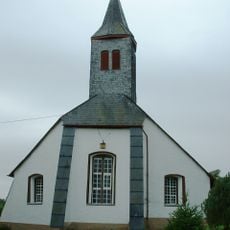
Protestant Church
6.9 km
Im Eschen
6.9 km
Teufelsfels Observation Tower
5.4 km
Herrenberg Besucherbergwerk
6.8 km
Soonwald
8.8 km
Evangelische Kirche Woppenroth
3.9 kmReviews
Visited this place? Tap the stars to rate it and share your experience / photos with the community! Try now! You can cancel it anytime.
Discover hidden gems everywhere you go!
From secret cafés to breathtaking viewpoints, skip the crowded tourist spots and find places that match your style. Our app makes it easy with voice search, smart filtering, route optimization, and insider tips from travelers worldwide. Download now for the complete mobile experience.

A unique approach to discovering new places❞
— Le Figaro
All the places worth exploring❞
— France Info
A tailor-made excursion in just a few clicks❞
— 20 Minutes