Enable Location

We need your location to show you interesting places around you

Discover nearby places

Find interesting locations and hidden gems around you

Precise directions

Get accurate directions and distances to places

Your location is never shared with other users. It's only used when you tap the location button.

Wittekindsberg

Log in to your account

Start exploring — it's free

Trusted by 62,893 travelers worldwide

Continue with Google
Continue with Apple
or

We will send you a code to connect

By continuing, you accept our Terms and Conditions and our Privacy Policy

Check your inbox

We've sent a pincode in your inbox. Please enter the code below.

Wittekindsberg
Discussion Reviews 1 Photos
2.7k Popularity

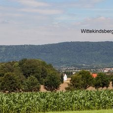
Wittekindsberg, Mountain summit in Minden-Lübbecke District, Germany

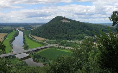
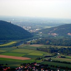
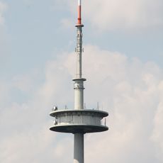
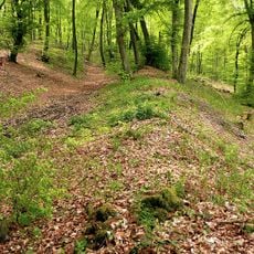
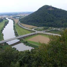
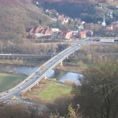
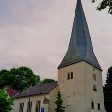
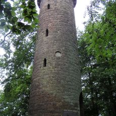
Wittekindsberg is a 281 meter high summit forming the easternmost peak of the Wiehen Hills, positioned along a dramatic Weser River gorge. The mountain supports multiple structures of interest including observation towers and the remains of an ancient castle.

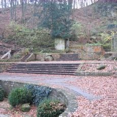
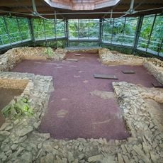
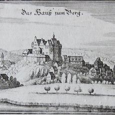
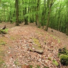
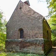
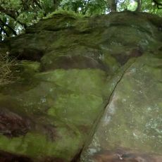
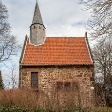
The mountain takes its name from the Saxon leader Wittekind and contains archaeological remains from Iron Age settlements alongside medieval fortifications. These layered traces reveal thousands of years of human occupation at this strategically important location.

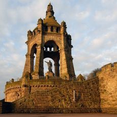
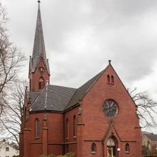
The Emperor William Monument built on the eastern slope in 1896 serves as a visible symbol of German unification and local heritage. It remains a landmark that shapes how visitors perceive and remember this mountain.

Well-marked hiking trails crisscross the mountain connecting its points of interest such as observation towers and castle ruins. The paths offer varied routes suitable for different fitness levels to explore the site at your own pace.

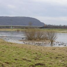
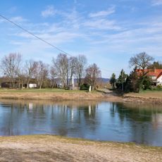
This location marks a natural boundary where the landscape shifts dramatically: the Weser River separates the rolling upland terrain from the flat plains of northern Germany. The mountain sits at this geographical dividing line making it an ideal vantage point to witness two contrasting land types meeting.

The community of curious travelers

AroundUs brings together thousands of curated places, local tips, and hidden gems, enriched daily by 60,000 contributors worldwide.

Start exploring
Elevation above the sea
281.48 m
GPS coordinates
52.24600,8.89095
Latest update
December 12, 2025 14:20
« Wittekindsberg - Mountain summit in Minden-Lübbecke District, Germany » is provided by Around Us (aroundus.com). Images and texts are derived from Wikimedia project under a Creative Commons license. You are allowed to copy, distribute, and modify copies of this page, under the conditions set by the license, as long as this note is clearly visible.

Discover hidden gems everywhere you go!

From secret cafés to breathtaking viewpoints, skip the crowded tourist spots and find places that match your style. Our app makes it easy with voice search, smart filtering, route optimization, and insider tips from travelers worldwide. Download now for the complete mobile experience.

Around Us App Screenshot

A unique approach to discovering new places

Le Figaro

All the places worth exploring

France Info

A tailor-made excursion in just a few clicks

20 Minutes

Around Us
Travel Guide & Maps
Download

Send to your phone

QR Code
1

Open the camera app on your mobile.

2

Point at the QR code with your camera. A notification will appear.

3

Tap the notification to open the link.