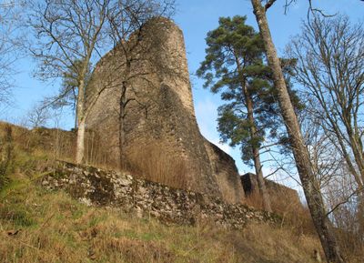
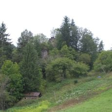
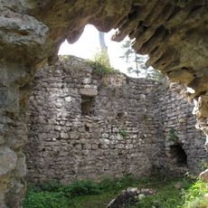
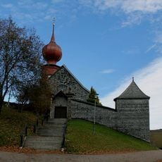
Burgruine Neufürstenberg, Schwarzwald-Baar, Medieval castle ruins in Vöhrenbach, Germany
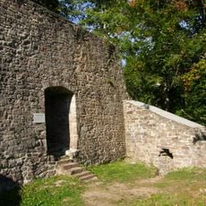
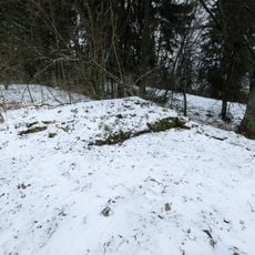
Burgruine Neufürstenberg is a castle ruin in Vöhrenbach, Schwarzwald-Baar, with its most distinctive feature being a massive shield wall measuring 15 meters high and 3.5 meters thick that protected the western side. The structure sits on a rocky spur between the Breg River and Urach stream, and lacks a main tower unlike typical medieval German fortifications.
Built between 1275 and 1350 by the Counts of Fürstenberg-Haslach, the fortress served to control ore mining operations and secure the route between Breisgau and Baar. The stronghold was destroyed in 1525, which marked the end of its role as a regional control point.
The castle's destruction in 1525 led to an unusual punishment where Vöhrenbach residents had to include a donkey in their city coat of arms, a mark that lasted until the 19th century. This curious requirement makes the ruins a distinctive symbol of local identity.
The ruins are accessible through a short walk from the Breg bridge, and entry is completely free. The location between two waterways makes it easy to orient yourself while exploring the site.
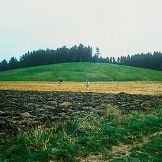
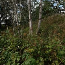
The ruins rise from a rocky spur between two streams, a position that created a natural defensive line against attack. This location between the Breg and Urach waterways allowed the fortress to monitor river traffic while remaining difficult to approach from the water.
The community of curious travelers
AroundUs brings together thousands of curated places, local tips, and hidden gems, enriched daily by 60,000 contributors worldwide.