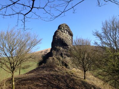
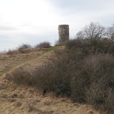
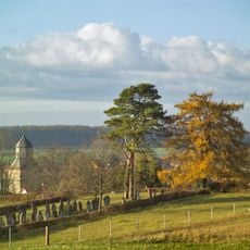
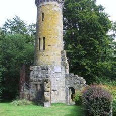
Wichtelkirche, Medieval castle ruins in Zierenberg, Germany
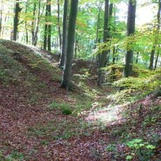
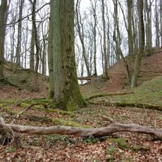
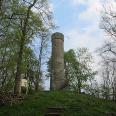
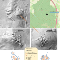
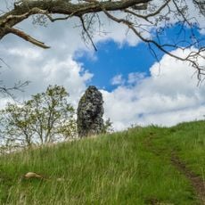
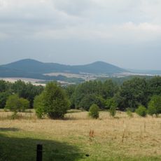
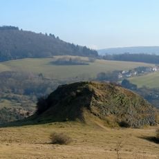
The Wichtelkirche is a medieval castle site in Zierenberg featuring a distinctive basalt rock formation with a narrow platform on top. It sits at 390 meters above sea level and displays traces of mortar, brick fragments, and wall remains scattered beneath thick vegetation.
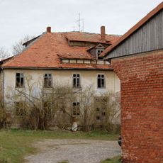
The Blumenstein Castle was first recorded in written documents in 1342 as a vassal holding of the Hessian landgraves. By 1430 the fortress had fallen into decline and was eventually abandoned.
The rock formation's name comes from local folklore about a dwarf king who built a church to win the hand of a Christian maiden named Gotelind. This folk tale has shaped how people understand and talk about the place over the centuries.
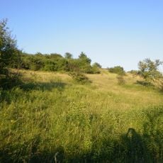
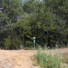
Access to the Wichtelkirche is via a path on the northern side of the basalt formation, which can be slippery in wet weather. Visitors should expect dense vegetation and wear sturdy shoes, as the route passes through overgrown terrain with uneven ground.
Ceramic fragments discovered about 300 meters southwest of the Wichtelkirche point to a medieval settlement known as Wüstung Blumenstein. These archaeological finds reveal that a larger human settlement once surrounded the castle site.
The community of curious travelers
AroundUs brings together thousands of curated places, local tips, and hidden gems, enriched daily by 60,000 contributors worldwide.