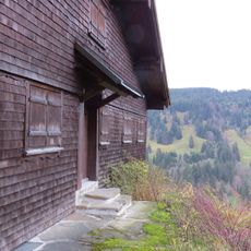
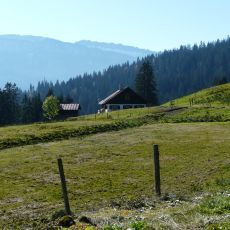
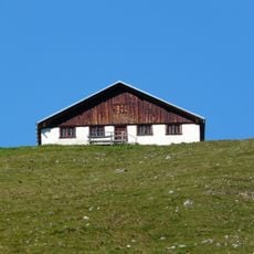
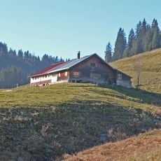
Riedbergpass, Mountain pass in Oberallgäu, Germany.
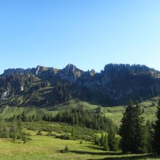
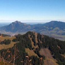
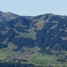
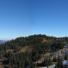
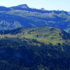
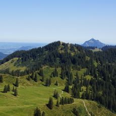
The Riedbergpass is a mountain pass road in the Allgäu Alps, running on Kreisstraße OA 9 between Obermaiselstein and Balderschwang in Bavaria's Oberallgäu district. Its summit lies at 1,406 meters, 30 meters southwest of the junction to Grasgehren. From Obermaiselstein the road climbs in tight curves along the Schönberger Ach, then descends west through the Bolgenach valley past Schwabenhof, Wäldle, Gschwend and Schlipfhalden to Balderschwang.
Construction of this mountain road began in 1956 after decades of planning and opened in 1961, creating the first direct German access to Balderschwang. The project represented a major step forward in connecting this remote alpine region.
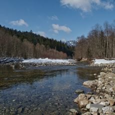
The pass lies on the Rhine-Danube watershed: the Bolgenach below the Schafkopf drains via the Weissach, Bregenzer Ach, Lake Constance and Rhine to the North Sea, while the Weiler Ach, fed by the Schönberger Ach beside the road, reaches the Black Sea through the Iller and Danube. Until the road opened, Balderschwang could be reached by car only through Vorarlberg.
The pass road climbs from Fischen (761 m) via Obermaiselstein (849 m) to its 1,406 m summit, then descends through the Bolgenach valley past Schwabenhof, Wäldle, Gschwend and Schlipfhalden to Balderschwang (1,044 m). The approach from Obermaiselstein is the curvy, steep part; the road is classified as Kreisstraße OA 9 on the German side and Landesstraße L 5 in Austria.
The pass height sign once read 1420 m, but the road's summit actually lies at 1406 m; after a full renewal the figure is shown correctly. A trigonometric point nearby measures 1405.9 m, while the true saddle of the Schönbergjoch, the watershed, sits about 900 m southwest at 1342 m.
The community of curious travelers
AroundUs brings together thousands of curated places, local tips, and hidden gems, enriched daily by 94,638 contributors worldwide.