
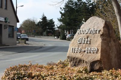
Okel, human settlement in Germany
Location: Syke
Elevation above the sea: 13 m
GPS coordinates: 52.93500,8.88417
Latest update: March 9, 2025 22:55
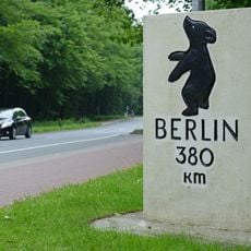
Berliner Meilenstein
4.2 km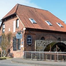
Wassermühle Barrien
4.1 km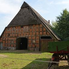
Hofanlage Osterholzer Straße 11
2.2 km
Villa Herrlichkeit 26
4.3 km
Scheune Gödestorfer Damm 19
4.4 km
Hofanlage Geestrand 4
2.4 km
Wohnhaus An der Beeke 15
337 m
Pferdestall Am Amtmannsteich
3.8 km
Hofanlage Pennigbeck 6
1.7 km
Kreismuseum Syke
4.2 km
Wohnhaus Waldstraße 68
3.8 km
Brauhaus
3.7 km
Lahauser Spieker
4.3 km
Villa Herrlichkeit 24
4.3 km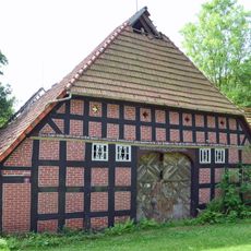
Hofanlage Schnepker Straße 1
4.4 km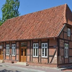
Wohnhaus Waldstraße 3
3.9 km
Forum Gesseler Goldhort
4.2 km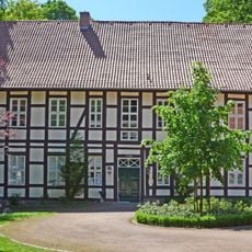
Am Amtmannsteich 3
3.7 km
Wohn- und Wirtschaftsgebäude An der Wassermühle 6
4.2 km
Bartholomäuskirche Syke-Barrien
4.1 km
Syker Vorwerk
3.7 km
Saalanbau
3.7 km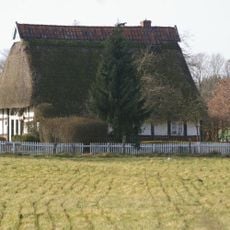
Wohn- und Wirtschaftsgebäude Zum Brook 10b
4.2 km
Wald-Weg-Zeichen
3.7 km
Amphibienbiotop Friedeholzer Schlatt
2.6 km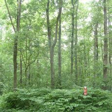
Boltenmoor
2.9 km
Schnepker Schlatt
4.2 km
Okeler Sandgrube
1.2 kmReviews
Visited this place? Tap the stars to rate it and share your experience / photos with the community! Try now! You can cancel it anytime.
Discover hidden gems everywhere you go!
From secret cafés to breathtaking viewpoints, skip the crowded tourist spots and find places that match your style. Our app makes it easy with voice search, smart filtering, route optimization, and insider tips from travelers worldwide. Download now for the complete mobile experience.

A unique approach to discovering new places❞
— Le Figaro
All the places worth exploring❞
— France Info
A tailor-made excursion in just a few clicks❞
— 20 Minutes