
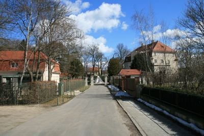
Neu Fahrland, suburb of Potsdam
Location: Potsdam
Elevation above the sea: 33 m
Part of: Potsdam
GPS coordinates: 52.44222,13.04864
Latest update: March 5, 2025 19:13
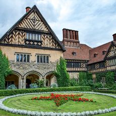
Cecilienhof
3 km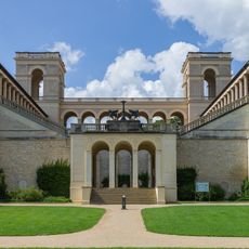
Belvedere on the Pfingstberg
2.7 km
Biosphäre Potsdam
2.6 km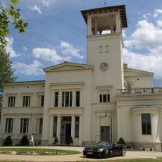
Villa Henckel
2.6 km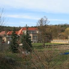
Villa Adlon
36 m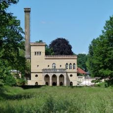
Dairy in the New Garden
2.7 km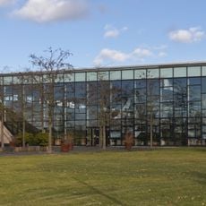
Volkspark Potsdam
2.7 km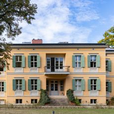
Villa Quandt
2.9 km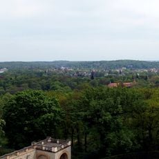
Pfingstberg
2.7 km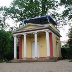
Pomonatempel
2.8 km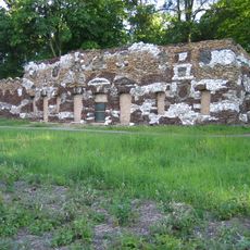
Muschelgrotte im Neuen Garten
2.9 km
Römerschanze bei Potsdam
578 m
Helmertturm
1.2 km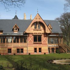
Villa Gericke
2.9 km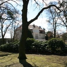
Villa von Diringshofen
289 m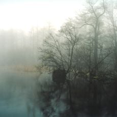
Sacrower See und Königswald
2.8 km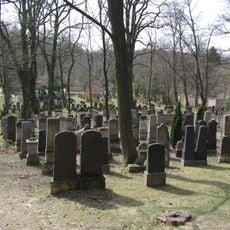
Jewish Cemetery, Potsdam
2.8 km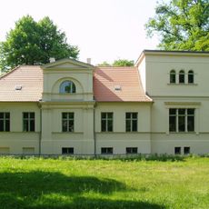
Lepsiushaus
2.8 km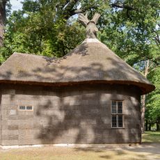
Borkenküche
2.8 km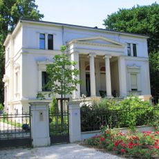
Villa Stülpnagel
3 km
Gemeine Eibe in der Nauener Vorstadt
2.6 km
Heldbockeichen
2.2 km
U. Rhinluch/Dreetzer See, Havell. Luch und Belziger Landschaftsw.
2.9 km
Sacrower See und Königswald
2.6 km
Haus Bonk
3 km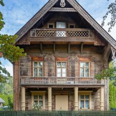
Russische Kolonie 14 Potsdam
3 km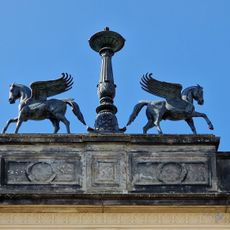
Pegasus Group
2.7 km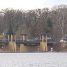
Nedlitz North Bridge
93 mReviews
Visited this place? Tap the stars to rate it and share your experience / photos with the community! Try now! You can cancel it anytime.
Discover hidden gems everywhere you go!
From secret cafés to breathtaking viewpoints, skip the crowded tourist spots and find places that match your style. Our app makes it easy with voice search, smart filtering, route optimization, and insider tips from travelers worldwide. Download now for the complete mobile experience.

A unique approach to discovering new places❞
— Le Figaro
All the places worth exploring❞
— France Info
A tailor-made excursion in just a few clicks❞
— 20 Minutes