Sandkopf, Mountain summit in Rhineland-Palatinate, Germany
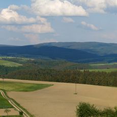
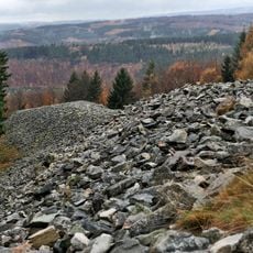
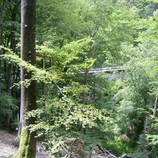
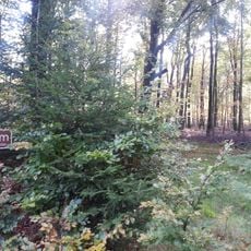
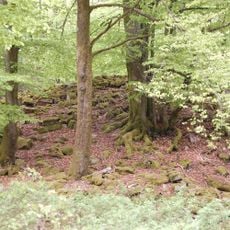
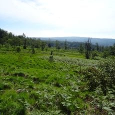
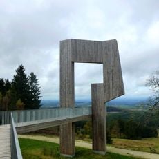
Sandkopf is a mountain in the Schwarzwälder Hochwald range of the Hunsrück, reaching 757.4 m above sea level. It is the highest point in the Trier-Saarburg district of Rhineland-Palatinate and lies on the territory of Neuhütten, between Züsch, Damflos, Malborn-Thiergarten, Börfink and the Muhl hamlet. An asphalted farm track carrying the European long-distance trail E3 runs past the summit.
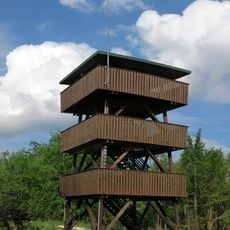
The Sandkopf lies in the Schwarzwälder Hochwald, not the Eifel, and is the highest point of the Trier-Saarburg district at 757.4 m. The historic Pfaffenstraße long-distance route ran across the summit. During the Cold War the US Air Force operated the "Radio Relay Site Muhl-Züsch" here for Ramstein Air Base, with a concrete tower about 80 m high; the site passed to the Bundesanstalt für Immobilienaufgaben in 2007, was sold in 2012, and all buildings except the tower and the concrete perimeter wall were removed.
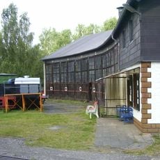
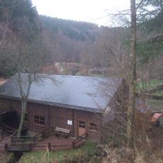
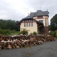
The name Fuchsbau refers to the Jagdhaus Fuchsbau, a one-storey timber-framed hunting lodge built in 1899 on the Sandkopf. It is listed as a cultural monument in the Trier region. The building recalls the mountain's use for hunting rather than fox dens.
The trails are walkable year-round, though steep sections can become slippery after rain. The mountain is best explored during drier months or with footwear that has good traction on wet ground.
The Fuchsbau on the Sandkopf is not a fox den but a one-storey timber-framed hunting lodge built in 1899, listed as a cultural monument. It stands near the asphalted farm track that carries the European long-distance trail E3 across the summit.
The community of curious travelers
AroundUs brings together thousands of curated places, local tips, and hidden gems, enriched daily by 93,853 contributors worldwide.