Harkortberg, Mountain summit in Alt-Wetter, Germany.
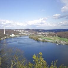
Harkortberg is a 231.6 m high, roughly 1.5 km long southern spur of the Ardey hills in Alt-Wetter. Its flat summit lies about 350 m from the Harkortturm in woodland near the AVU water reservoir. The Ruhr flows around the east and south sides, dammed since the 1930s as the Harkortsee. Beech and mixed deciduous forest covers most of the slope.
The mountain was originally called Wetterberg before being renamed in honor of Friedrich Harkort, a 19th-century industrial innovator from the area. The tower was added later as part of efforts to commemorate this influential figure.
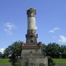
The Harkortturm, inaugurated in 1884, is the landmark of Wetter and is named after industrial pioneer Friedrich Harkort (1793–1880), as was the mountain itself, formerly called Wetterberg. The old name survives in the Wetterberg road on the western slope. The tower is only occasionally open, but a viewing platform set up in 2008 about 150 metres north offers a panorama over the Ruhr valley.
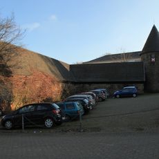
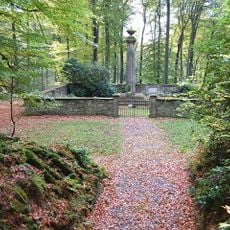
The Harkortberg recreation area has over 100 public parking spaces; public transport reaches it only via a citizens' bus line. The tower is not always open, and a separate viewing platform set up in 2008 stands about 150 metres to the north. The war memorial about 300 metres south of the tower includes a viewpoint over the Harkortsee.
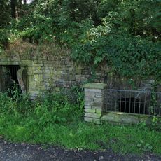
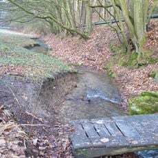
The southern and southeastern slopes show remnants of former quarries where coal and local stone were once extracted. These excavations reveal how heavily the land was mined in earlier times.
The community of curious travelers
AroundUs brings together thousands of curated places, local tips, and hidden gems, enriched daily by 94,036 contributors worldwide.