Chest opened
+${chestReward.xp} XP
Explorer
NOUVEAU ×${chestReward.collectible.quantity}
tapez pour fermer
Chest locked

Open chests in the app

Around Us is built for your phone — chests unlock when you walk, explore and capture nearby places.

Enable Location

We need your location to show you interesting places around you

Discover nearby places

Find interesting locations and hidden gems around you

Precise directions

Get accurate directions and distances to places

Your location is never shared with other users. It's only used when you tap the location button.

Log in to your account

Start exploring — it's free

Trusted by 73,022 travelers worldwide

Continue with Google
Continue with Apple
or

We will send you a code to connect

By continuing, you accept our Terms and Conditions and our Privacy Policy

Check your inbox

We've sent a pincode in your inbox. Please enter the code below.

Hohenseelbachs-Kopf
Discussion Reviews Photo
2.6k Popularity

Hohenseelbachs-Kopf, Natural monument and hill in Siegerland region, Germany

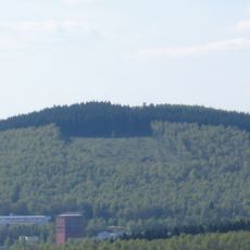
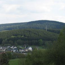
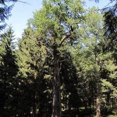
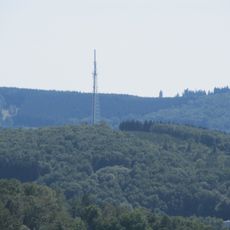
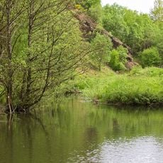
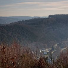
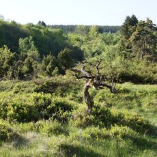
Hohenseelbachskopf is a natural monument and hill in the Siegerland region standing at about 518 meters, composed of basalt and located at the border between two German states. Its distinctive dome shape rises noticeably above the surrounding countryside, making it easy to spot from a distance.

A castle was built on the basalt summit in 1350 but was destroyed just two years later by the Archbishop of Trier. The swift destruction suggests that the structure was seen as a threat to the regional authority of the time.

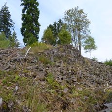
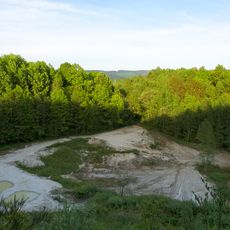
The hill holds remains of an Iron Age fortification that visitors can still see today as earthen walls and depressions in the landscape. These traces show that the area was home to early communities who valued this location for its elevated position.

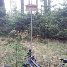
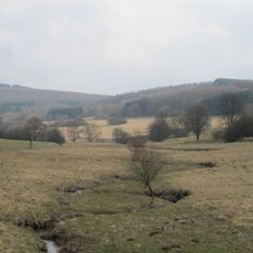
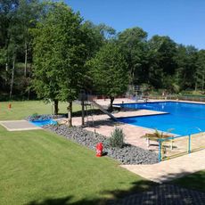
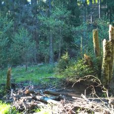
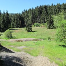
Several forest trails lead to the summit from surrounding villages like Altenseelbach, Herdorf, Daaden, and Struthütten, though each route requires a moderate climb. The paths are natural and can become slippery in wet conditions, so appropriate footwear is important.

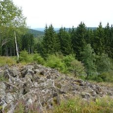
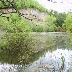
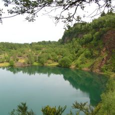
The basalt rock formed roughly 19 to 20 million years ago through volcanic activity and was later exposed by erosion. This geological history reveals that the region experienced intense volcanic processes during that distant period, shaping the landscape we see today.

The community of curious travelers

AroundUs brings together thousands of curated places, local tips, and hidden gems, enriched daily by 60,000 contributors worldwide.

Start exploring
Elevation above the sea
517.5 m
GPS coordinates
50.75910,7.98653
Latest update
December 12, 2025 17:46
Reviews
Share your experience

No review yet

Discussions
Start a discussion...

No discussion yet

« Hohenseelbachs-Kopf - Natural monument and hill in Siegerland region, Germany » is provided by Around Us (aroundus.com). Images and texts are derived from Wikimedia project under a Creative Commons license. You are allowed to copy, distribute, and modify copies of this page, under the conditions set by the license, as long as this note is clearly visible.

Discover hidden gems everywhere you go!

From secret cafés to breathtaking viewpoints, skip the crowded tourist spots and find places that match your style. Our app makes it easy with voice search, smart filtering, route optimization, and insider tips from travelers worldwide. Download now for the complete mobile experience.

Around Us App Screenshot

A unique approach to discovering new places

Le Figaro

All the places worth exploring

France Info

A tailor-made excursion in just a few clicks

20 Minutes

Around Us
Travel Guide & Maps
Download

Send to your phone

QR Code
1

Open the camera app on your mobile.

2

Point at the QR code with your camera. A notification will appear.

3

Tap the notification to open the link.