
Hoher Kopf, mountain
Location: Rhineland-Palatinate
Elevation above the sea: 418 m
GPS coordinates: 49.05497,7.90232
Latest update: April 5, 2025 21:53
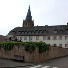
Weissenburg Abbey
3.5 km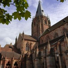
St. Peter and St. Paul's Church, Wissembourg
3.5 km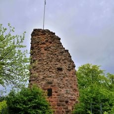
Guttenberg Castle
2.9 km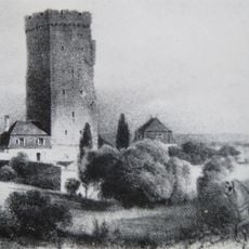
Château Saint-Paul
2.8 km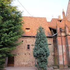
Chapelle Saint-Pierre-et-Paul de Wissembourg
3.5 km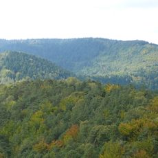
Hohe Derst
3.6 km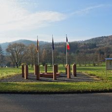
Europadenkmal
1.1 km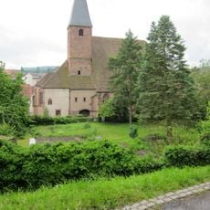
St John's Church, Wissembourg
3.5 km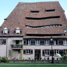
Maison du sel
3.6 km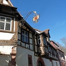
Musée Westercamp
3.6 km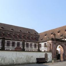
Hôtel Stanislas
3.5 km
Bobenthaler Knopf
2.4 km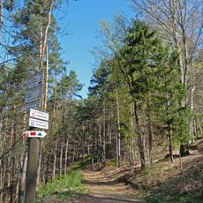
Scherhol
3.3 km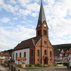
St. Michael
3.5 km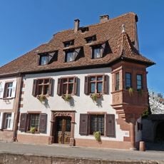
Maison de l'Ami Fritz
3.3 km
Sous-préfecture
3.5 km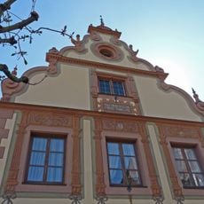
Maison des Chevaliers
3.6 km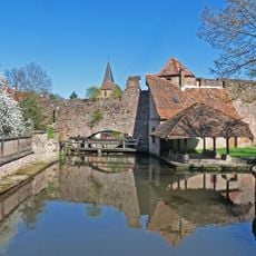
Canal de la Lauter
3.1 km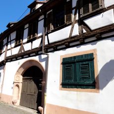
Maison Kobold
3.6 km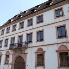
Maison Vogelsberger
3.5 km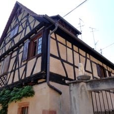
Maison, 27 rue Neuve (Wissembourg)
3.6 km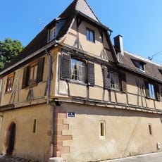
Maison dite Stern
3.6 km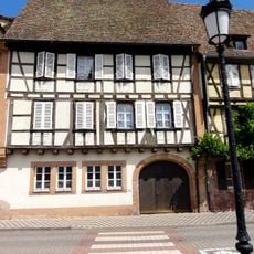
Maison Wagenführer
3.5 km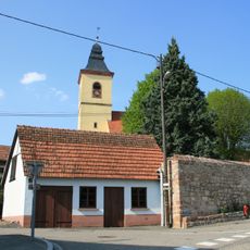
Église Saint-Georges de Rott
3.5 km
Bench
2.8 km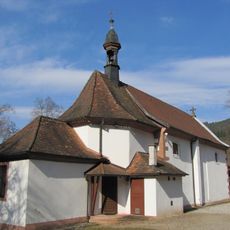
Notre-Dame de Wissembourg
1.3 km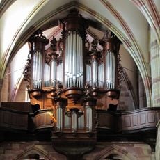
Orgue de tribune de l'abbatiale Saint-Pierre-et-Saint-Paul de Wissembourg
3.5 km
Ancien couvent des augustins
3.6 kmReviews
Visited this place? Tap the stars to rate it and share your experience / photos with the community! Try now! You can cancel it anytime.
Discover hidden gems everywhere you go!
From secret cafés to breathtaking viewpoints, skip the crowded tourist spots and find places that match your style. Our app makes it easy with voice search, smart filtering, route optimization, and insider tips from travelers worldwide. Download now for the complete mobile experience.

A unique approach to discovering new places❞
— Le Figaro
All the places worth exploring❞
— France Info
A tailor-made excursion in just a few clicks❞
— 20 Minutes