Bobenthaler Knopf, Mountain summit in Pfälzerwald, Germany
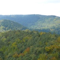
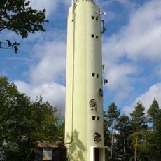
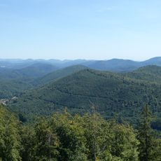
Bobenthaler Knopf is a mountain summit in Pfälzerwald rising to 534 meters, surrounded by mixed forests in the Rhineland-Palatinate region. Several hiking trails wind through the area, guiding visitors through the natural woodland landscape.
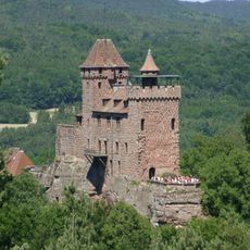
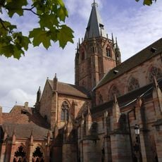
The hill's recorded history centres on the Wasserfehde of 1485, a dispute between Knight Hans von Trotha of Berwartstein Castle and Weissenburg Abbey. Trotha dammed the Wieslauter near the Bobenthaler Knopf, cutting off the water supply to the abbey town of Weissenburg, then tore the dam down without warning, flooding the town and causing serious economic damage.
Two commemorative stones near the summit mark different episodes from earlier times: the Löffelskreuz preserves memory of an event in 1435, while the Eselsschleif marks where donkeys once transported firewood.
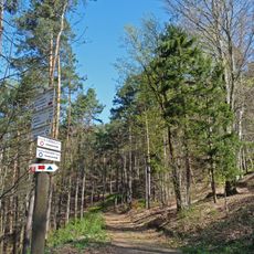
The hill is enclosed on three sides by two regional roads: the L 478 passes to the west and south, the L 492 to the east. The Pfälzer Waldpfad long-distance trail runs along the southwestern flank, and a green-barred trail from Zweibrücken to the Rhine crosses the southern slope. A footpath reaches the summit from the south.
The core zone was only 319 hectares when first designated; after 2017 it was enlarged by an area in the northwest. It is the third-largest core zone in the Palatine Forest Nature Park, after the Wieslauter spring area and the Teufelsleiter. Most of it lies on Bobenthal land, with a small northeastern part in Böllenborn.
The community of curious travelers
AroundUs brings together thousands of curated places, local tips, and hidden gems, enriched daily by 94,518 contributors worldwide.