Hohe Derst, Mountain summit in Rhineland-Palatinate, Germany.
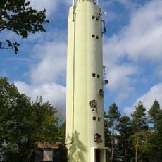
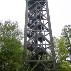
The Hohe Derst is a 561-metre hill in the Palatine Forest, the highest point of the Mundat Forest in the Wasgau. It rises on the land of Böllenborn and Oberotterbach above the hamlet of Reisdorf, five kilometres from Bad Bergzabern. A military radio-relay tower stands on the summit beside the Ritterstein No. 301 summit marker, and a little below the top is a Südwestrundfunk transmission site.
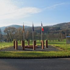
The Hohe Derst was fiercely contested in 1945 during the Second World War. From 1946 to 1986 the hill marked the northernmost corner of the Upper Mundat Forest, an area under French administration. A memorial stone placed on the summit on 6 June 2020 commemorates the mine explosion of 18 April 1948, which killed two people.
The summit is marked by Ritterstein No. 301, one of the numbered sandstone markers placed by the Pfälzerwald-Verein. Since 6 June 2020 a memorial stone has stood beside it, commemorating the mine explosion of 18 April 1948, in which two people died. Marked trails from Böllenborn, Dörrenbach, Oberotterbach, Schweigen-Rechtenbach and Sankt Germanshof lead up to these stones.
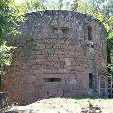
The Landesstraße 492 runs around the hill and has a walkers' car park. Marked trails of the Pfälzerwald-Verein reach the summit from Böllenborn, Dörrenbach, Oberotterbach, Schweigen-Rechtenbach and Sankt Germanshof. The summit is marked by Ritterstein No. 301; the ruins of Guttenberg Castle lie just under a kilometre south.
The summit is marked by Ritterstein No. 301, a stone marker of the Palatine Forest Club. Since 6 June 2020 a memorial stone has stood beside it, commemorating the mine explosion of 18 April 1948, in which two people died. The ruins of Guttenberg Castle lie just under a kilometre south of the hill.
The community of curious travelers
AroundUs brings together thousands of curated places, local tips, and hidden gems, enriched daily by 93,519 contributors worldwide.