HexaTrek

Log in to your account

AroundUs is a community-driven map of interesting places, built by curious explorers like you. It grows with every review, story, and photo you share.
Connect to save your favorite spots, contribute locations, and create personalized routes.
Continue with Google
Continue with Apple
Continue with X
Continue with Facebook
Continue with email
By continuing, you accept our Terms and Conditions and our Privacy Policy
Create an account
Add to collection
Map
Suggest a change
Share

HexaTrek, Long-distance hiking trail from Spanish to German border, France

HexaTrek is a long-distance hiking trail that spans about 3000 kilometers across France, crossing the Vosges, Alps, and Pyrenees mountains. The route consists of six distinct sections that traverse multiple regions and accumulate significant elevation gain and loss.

The trail combines 47 existing GR paths, following routes that have connected French communities for centuries. These historic passages once served as vital travel corridors through the country's varied terrain.

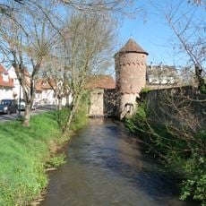
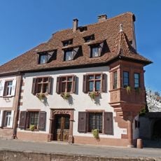
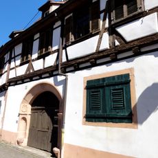
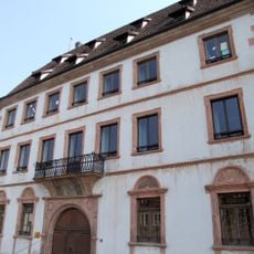
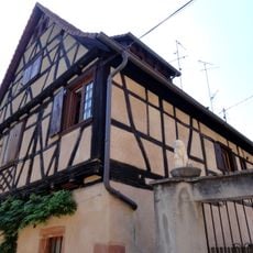
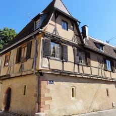
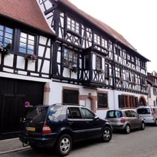
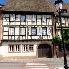
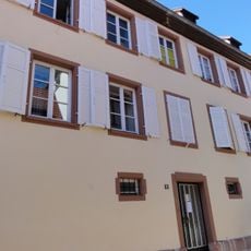
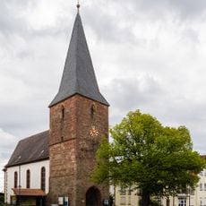
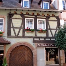
The route passes through traditional mountain villages where hikers encounter local cheese, cured meats, and regional breads as part of daily life. These small communities shape the walking experience with their working rhythms and craft traditions.

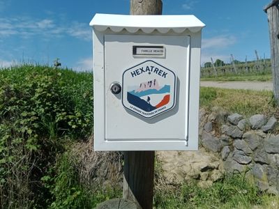
Hikers can download free GPX files for navigation and use the community Discord channel to connect with other walkers. The group shares current conditions and can help with planning individual sections of the journey.

The name HexaTrek references France's hexagonal shape, with the six stages reflecting the country's geographic form. This conceptual link between the name and the route structure makes the hike a geographically symbolic experience.

Location: Grand Est

Location: Bourgogne-Franche-Comté

Location: Canton of Vaud

Location: Auvergne-Rhône-Alpes

Location: Canton of Valais

Location: Occitania

Location: Canillo

Location: Ordino

Location: Aragon

Location: Navarre

Location: Nouvelle-Aquitaine

Website: https://hexatrek.com

GPS coordinates: 49.04675,7.95119

Latest update: December 12, 2025 09:04

Photos
Reviews

Visited this place? Tap the stars to rate it and share your experience / photos with the community! Try now! You can cancel it anytime.

« HexaTrek - Long-distance hiking trail from Spanish to German border, France » is provided by Around Us (aroundus.com). Images and texts are derived from Wikimedia project under a Creative Commons license. You are allowed to copy, distribute, and modify copies of this page, under the conditions set by the license, as long as this note is clearly visible.

Discover hidden gems everywhere you go!

From secret cafés to breathtaking viewpoints, skip the crowded tourist spots and find places that match your style. Our app makes it easy with voice search, smart filtering, route optimization, and insider tips from travelers worldwide. Download now for the complete mobile experience.

Around Us App Screenshot

A unique approach to discovering new places

Le Figaro

All the places worth exploring

France Info

A tailor-made excursion in just a few clicks

20 Minutes