
Lübeck-Schlutup, borough of Lübeck
Location: Lübeck
Elevation above the sea: 15 m
GPS coordinates: 53.89111,10.79778
Latest update: March 6, 2025 10:24

Dummersdorfer Ufer
5.4 km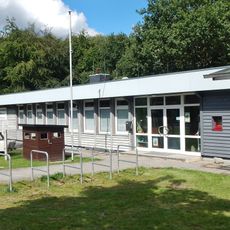
Border musem Lübeck-Schlutup
888 m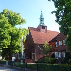
St. Joseph
2.3 km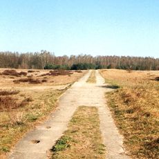
LSG Palingener Heide und Halbinsel Teschow
2.6 km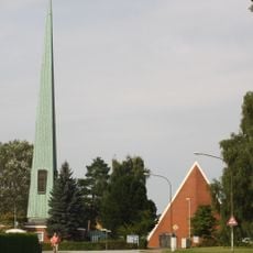
Dreifaltigkeitskirche
3.8 km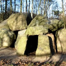
Pöppendorfer Großsteingrab
4 km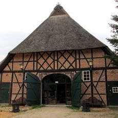
Forsthaus Waldhusen
3 km
Pöppendorfer Ringwall
4.6 km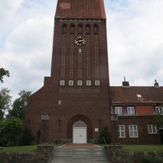
St. Johannes
2.5 km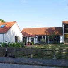
St. Stephanus (Lübeck)
5.4 km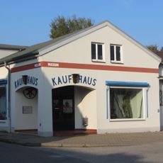
Industriemuseum Geschichtswerkstatt Herrenwyk
1.5 km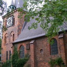
St. Andreas
964 m
Auferstehungskirche
5.5 km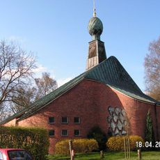
St. Philippuskirche
5.3 km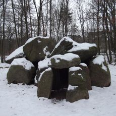
Archäologisch-naturkundlicher Wanderweg Lübeck
4.6 km
St. Nikolaikirche
3.9 km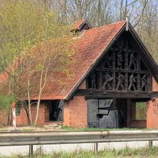
Transformatorenhaus an der Travemünder Allee
3.4 km
Friedhof Waldhusen
2.6 km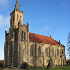
St.-Marien-Kirche
4.5 km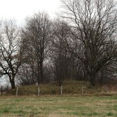
Großsteingrab Offendorf
4.7 km
Seemannsmission Lübeck
1.2 km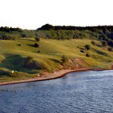
NSG Dummersdorfer Ufer
4.3 km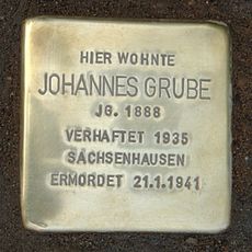
Stolperstein dedicated to Johannes Grube
4.8 km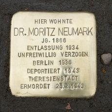
Stolperstein dedicated to Moritz Neumark
1 km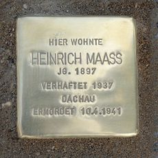
Stolperstein dedicated to Heinrich Maaß
4.9 km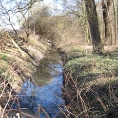
Lauerholz
4.2 km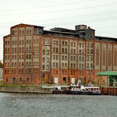
Lübecker Ölmühle
2.4 km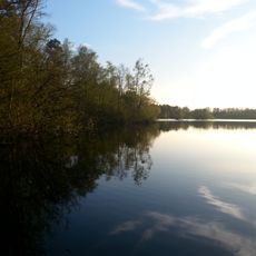
Waldhusener Moore und Moorsee
3 kmReviews
Visited this place? Tap the stars to rate it and share your experience / photos with the community! Try now! You can cancel it anytime.
Discover hidden gems everywhere you go!
From secret cafés to breathtaking viewpoints, skip the crowded tourist spots and find places that match your style. Our app makes it easy with voice search, smart filtering, route optimization, and insider tips from travelers worldwide. Download now for the complete mobile experience.

A unique approach to discovering new places❞
— Le Figaro
All the places worth exploring❞
— France Info
A tailor-made excursion in just a few clicks❞
— 20 Minutes