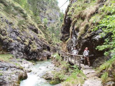
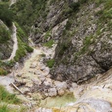
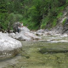
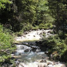
Weißbach, River and natural monument in Bavaria, Germany
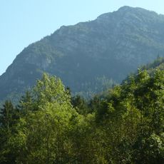
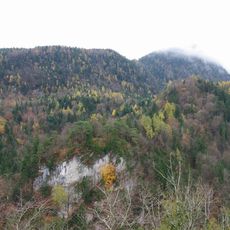
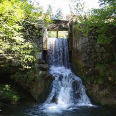
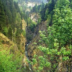
Weißbach is a waterway in Bavaria that flows through the municipalities of Inzell and Schneizlreuth, carving through the local landscape. The waterway has been designated as a geotope due to its distinctive geological features and natural formation.
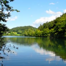
Weißbach developed over time through natural geological processes and now forms an important water system in the region. Its connection to other river networks shapes the hydrological structure of the local landscape.
The German designation of Weißbach as a natural monument reflects the local commitment to preserving natural water features in the Bavarian landscape point.
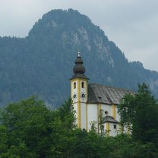
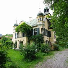
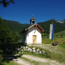
The waterway is accessible from several points in the region and can be explored along its course. Spring and summer offer the best visiting conditions, with easier access and more favorable weather for observing the water and landscape.
The waterway holds multiple official classifications at once, designated as both a river and a brook, a geotope, and a protected natural monument. This layered protection status highlights its geological and ecological importance to the surrounding region.
Location: Bavaria
Location: Schneizlreuth
Elevation above the sea: 550 m
Length: 1,500 m
Width: 150 m
GPS coordinates: 47.68840,12.80220
Latest update: December 14, 2025 16:46
Seilbahn Reiteralpe
2.4 km
Saalachsee
5.2 km
Ruine Karlstein
4.5 km
Thumseebad
3.9 km
Ristfeuchthorn
1.7 km
St. Pankraz
4.6 km
Burgstall Amerang
4.3 km
Seewirt (Bad Reichenhall)
3.7 km
Burgstall Vager
5.2 km
Seebachkapelle
4.8 km
Antonibergkapelle
2.2 km
Amalienruhe
5 km
St. Vinzenz
4.5 km
Schlössl (Bad Reichenhall)
4.5 km
Aschau
4.8 km
Kastnerklause
4.5 km
Schwarzbach
3.9 km
Jochbergkapelle
4.7 km
LSG Thumsee, Stadt Bad Reichenhall und Gemeinde Schneizlreuth
3.5 km
LSG Oberes Saalachtal mit Wendelberg und Kienberg, Gemeinde Schneizlreuth
1.1 km
NSG 'Aschau', NSG 'Schwarzbach' und Schwimmendes Moos
4 km
Ehemalige Villa Pachmayr, jetzt Gasthaus Seewirt am Thumsee
3.7 km
Ehemaliges Forsthaus, sogenanntes Schlössl
4.5 km
Gasthaus Moserwirt
4.9 km
Brunnhaus der ehemaligen Soleleitung Reichenhall-Traunstein
5.1 km
Ehemaliger Gasthof
5 km
Bauernhof Palfner
4.4 km
Kugelbachalm
2.2 kmVisited this place? Tap the stars to rate it and share your experience / photos with the community! Try now! You can cancel it anytime.
Discover hidden gems everywhere you go!
From secret cafés to breathtaking viewpoints, skip the crowded tourist spots and find places that match your style. Our app makes it easy with voice search, smart filtering, route optimization, and insider tips from travelers worldwide. Download now for the complete mobile experience.
A unique approach to discovering new places❞
— Le Figaro
All the places worth exploring❞
— France Info
A tailor-made excursion in just a few clicks❞
— 20 Minutes