Enable Location

We need your location to show you interesting places around you

Discover nearby places

Find interesting locations and hidden gems around you

Precise directions

Get accurate directions and distances to places

Your location is never shared with other users. It's only used when you tap the location button.

Log in to your account

Start exploring — it's free

Trusted by 62,782 travelers worldwide

Continue with Google
Continue with Apple
or

We will send you a code to connect

By continuing, you accept our Terms and Conditions and our Privacy Policy

Check your inbox

We've sent a pincode in your inbox. Please enter the code below.

Käfertal

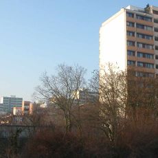
Käfertal, Administrative district in northeastern Mannheim, Germany

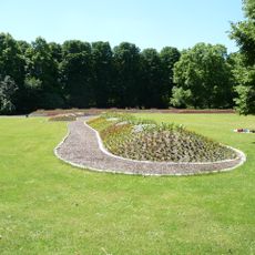
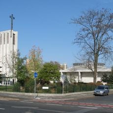
Käfertal is a district in northeastern Mannheim that contains several distinct residential quarters. The area includes different neighborhoods with their own character, combining housing zones with green spaces and local amenities.

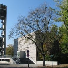
The district was home to Benjamin Franklin Village, a former U.S. military base that opened in 1947 and closed in 2012. This installation significantly shaped the area and left its mark on local infrastructure and urban development.

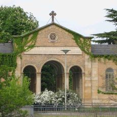
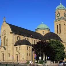
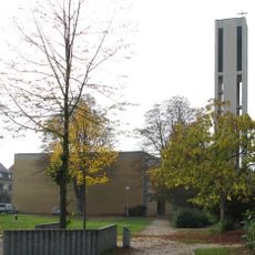
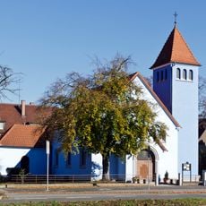
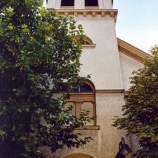
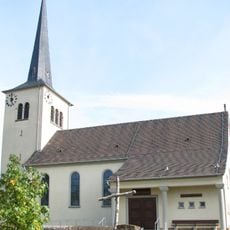
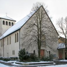
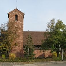
The neighborhood has ties to the local art community and is home to historic buildings such as Laurentiuskirche. Visitors can experience the artistic heritage and architectural character that residents value in their daily surroundings.

The district connects easily to central Mannheim through local rail networks and regular bus services. Getting around the area is straightforward, with transit options available throughout the neighborhood.

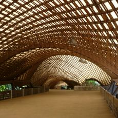
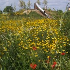
Hidden within Käfertaler Wald is the Karlsternpavillon, a quiet spot that many visitors overlook. This structure offers a peaceful place to rest and experience the wooded landscape of the neighborhood.

The community of curious travelers

AroundUs brings together thousands of curated places, local tips, and hidden gems, enriched daily by 60,000 contributors worldwide.

Start exploring
Location
GPS coordinates
49.51250,8.51779
Latest update
December 7, 2025 20:41
« Käfertal - Administrative district in northeastern Mannheim, Germany » is provided by Around Us (aroundus.com). Images and texts are derived from Wikimedia project under a Creative Commons license. You are allowed to copy, distribute, and modify copies of this page, under the conditions set by the license, as long as this note is clearly visible.

Discover hidden gems everywhere you go!

From secret cafés to breathtaking viewpoints, skip the crowded tourist spots and find places that match your style. Our app makes it easy with voice search, smart filtering, route optimization, and insider tips from travelers worldwide. Download now for the complete mobile experience.

Around Us App Screenshot

A unique approach to discovering new places

Le Figaro

All the places worth exploring

France Info

A tailor-made excursion in just a few clicks

20 Minutes

Around Us
Travel Guide & Maps
Download

Send to your phone

QR Code
1

Open the camera app on your mobile.

2

Point at the QR code with your camera. A notification will appear.

3

Tap the notification to open the link.