
Weiler, Stadtteil von Boppard
Location: Boppard
Elevation above the sea: 224 m
GPS coordinates: 50.19340,7.63036
Latest update: March 28, 2025 15:37
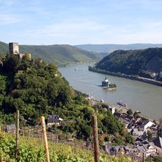
Rhine Gorge
5.1 km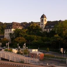
Kloster Marienberg
4.7 km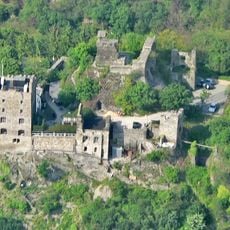
Liebenstein Castle
2.1 km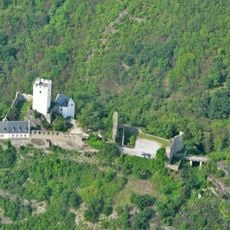
Sterrenberg Castle
2.2 km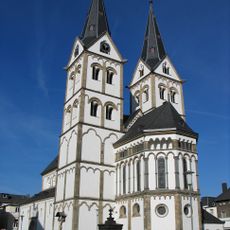
St. Severus
5.1 km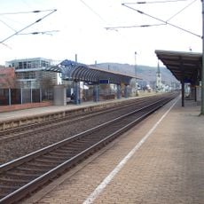
Boppard Central Station
5.3 km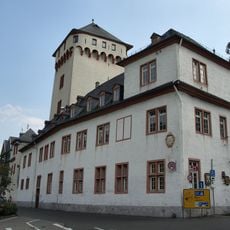
Electoral castle Boppard
5.1 km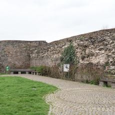
Castra Bodobrica
5 km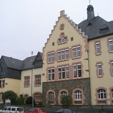
Kant-Gymnasium Boppard
4.6 km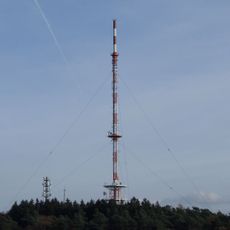
Fleckertshöhe
1.9 km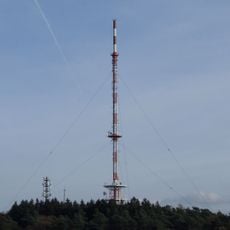
Sender Boppard
2 km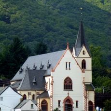
St. Aegidius (Bad Salzig)
1.2 km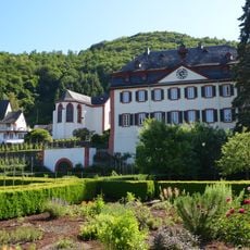
Propstei Hirzenach
2 km
Eltzer Hof
5.2 km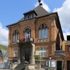
Altes Rathaus
5.1 km
Franziskanerkloster
5 km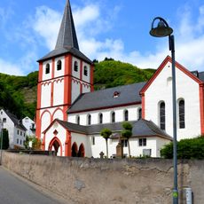
St. Bartholomäus
2 km
Rheinallee 22
4.9 km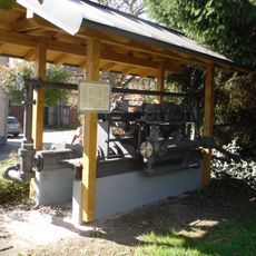
Wasserpumpe Lykershausen
2.8 km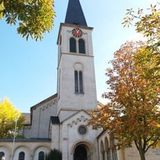
Christ Church
4.9 km
Hintere Dick-Eisenbolz
1.5 km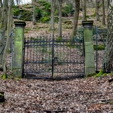
Jüdischer Friedhof Buchenau
3.7 km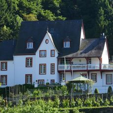
Villa Brosius
2 km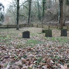
Jüdischer Friedhof
5.2 km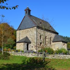
Saint Quentin Church
4.6 km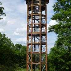
Fünfseenblick
1.1 km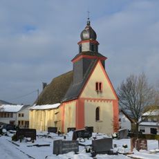
Saint Peter in chains Church (Weiler, Boppard)
236 m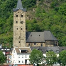
Saint Martin's Church (Wellmich)
5.1 kmReviews
Visited this place? Tap the stars to rate it and share your experience / photos with the community! Try now! You can cancel it anytime.
Discover hidden gems everywhere you go!
From secret cafés to breathtaking viewpoints, skip the crowded tourist spots and find places that match your style. Our app makes it easy with voice search, smart filtering, route optimization, and insider tips from travelers worldwide. Download now for the complete mobile experience.

A unique approach to discovering new places❞
— Le Figaro
All the places worth exploring❞
— France Info
A tailor-made excursion in just a few clicks❞
— 20 Minutes