Chest opened
+${chestReward.xp} XP
Explorer
NOUVEAU ×${chestReward.collectible.quantity}
tapez pour fermer

See the monuments around you in AR Open chests in the app

Around Us is built for your phone — point your camera at the streets and discover the monuments and places around you in augmented reality. Around Us is built for your phone — chests unlock when you walk, explore and capture nearby places.

•

Enable Location

We need your location to show you interesting places around you

Discover nearby places

Find interesting locations and hidden gems around you

Precise directions

Get accurate directions and distances to places

Your location is never shared with other users. It's only used when you tap the location button.

Weinfelder Maar

Log in to your account

Start exploring — it's free

Trusted by 94,646 travelers worldwide

Continue with Google
Continue with Apple
or

We will send you a code to connect

By continuing, you accept our Terms and Conditions and our Privacy Policy

Check your inbox

We've sent a pincode in your inbox. Please enter the code below.

Weinfelder Maar

Weinfelder Maar, Crater lake in Vulkaneifel, Germany

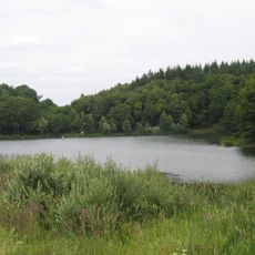
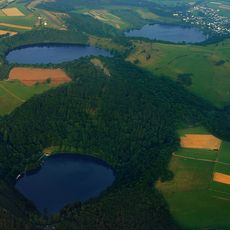
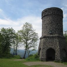
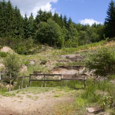
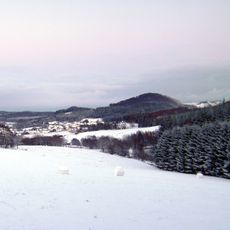
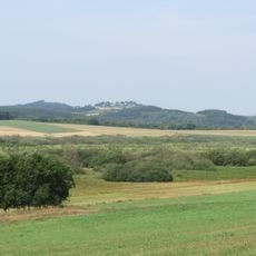
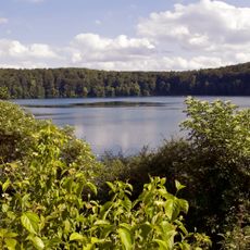
Weinfelder Maar is a crater lake in Vulkaneifel surrounded by steep walls and dark water set between forested hills. The water body is part of a trio of natural lakes that define this volcanic landscape.

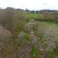
The Weinfelder Maar was created by a volcanic steam explosion; the German Wikipedia gives about 30,000 years, the English one about 10,500 years. The tuff wall around the lake rises higher in the west and south, where the Mäuseberg (561.2 m) and the Maarkreuz (534.5 m) stand. The nearby village of Weinfeld, last documented in 1512, was abandoned in the 16th century because of the plague.

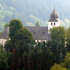
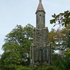
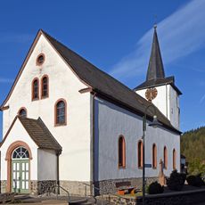
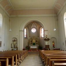
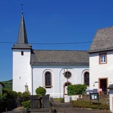
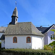
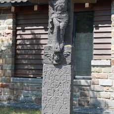
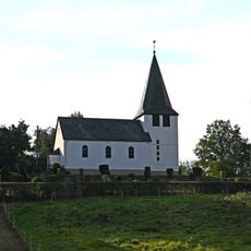
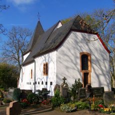
The name Totenmaar ("maar of the dead") comes from the cemetery and small chapel beside the lake, the former parish church of Weinfeld, parts of which date to the 14th century. The village was last documented in 1512 and abandoned after the plague. Schalkenmehren municipality still uses the chapel and cemetery for burials, and votive plaques at the entrance read "Maria hat geholfen" ("Mary has helped").

A walking trail circles the lake and provides access to viewpoints along the crater rim. Parking is available nearby and the route can be walked comfortably in a short to moderate timeframe.

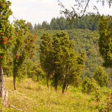
Local donkeys and goats graze on the steep crater slopes and naturally manage the vegetation. These animals are part of a conservation approach that keeps the landscape open and cared for.

The community of curious travelers

AroundUs brings together thousands of curated places, local tips, and hidden gems, enriched daily by 94,646 contributors worldwide.

Start exploring
Location
GPS coordinates
50.17633,6.85009
Latest update
October 31, 2026 01:06
Reviews
Share your experience

No review yet

Discussions
Start a discussion...

No discussion yet

« Weinfelder Maar - Crater lake in Vulkaneifel, Germany » is provided by Around Us (aroundus.com). Images and texts are derived from Wikimedia project under a Creative Commons license. You are allowed to copy, distribute, and modify copies of this page, under the conditions set by the license, as long as this note is clearly visible.

Discover hidden gems everywhere you go!

From secret cafés to breathtaking viewpoints, skip the crowded tourist spots and find places that match your style. Our app makes it easy with voice search, smart filtering, route optimization, and insider tips from travelers worldwide. Download now for the complete mobile experience.
Around Us App Screenshot
❝

A unique approach to discovering new places❞

— Le Figaro

❝

All the places worth exploring❞

— France Info

❝

A tailor-made excursion in just a few clicks❞

— 20 Minutes

Around Us
Travel Guide & Maps
Download

Send to your phone

QR Code
1

Open the camera app on your mobile.

2

Point at the QR code with your camera. A notification will appear.

3

Tap the notification to open the link.