
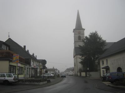
Beuren, human settlement in Germany
Location: Trier-Saarburg
Elevation above the sea: 545 m
Website: http://www.beuren-hochwald.de/
Website: http://beuren-hochwald.de
GPS coordinates: 49.72639,6.91444
Latest update: March 8, 2025 07:22
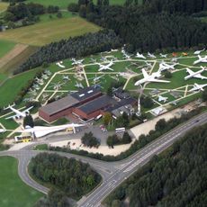
Flugausstellung Hermeskeil
5.7 km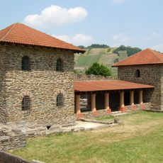
Villa rustica of Mehring
9.5 km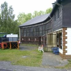
Bahnbetriebswerk Hermeskeil
7.8 km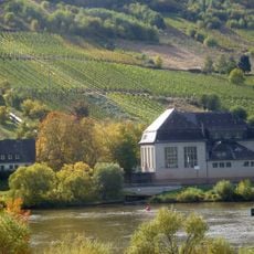
Dhrontalsperre
7.6 km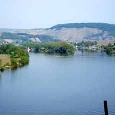
Staustufe Detzem
10.7 km
Course de côte de Trier
10.1 km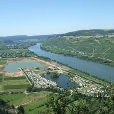
Triolago
10.3 km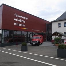
Feuerwehrmuseum Hermeskeil
8.2 km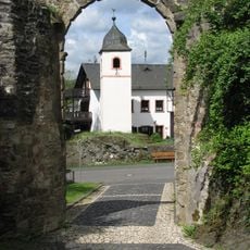
Burg Dhronecken
5.1 km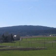
Rösterkopf
8.2 km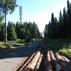
Sandkopf
9.7 km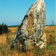
Menhir de Thomm
9.4 km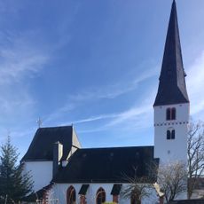
Protestant Church (Thalfang)
6.7 km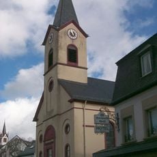
Protestant Church (Hermeskeil)
8.4 km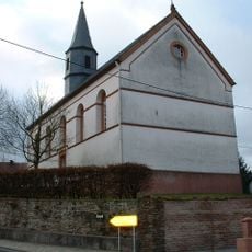
Evangelical Church
10.9 km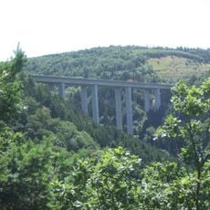
Molesbachtalbrücke
9.9 km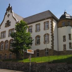
Amtsgericht Hermeskeil
8.2 km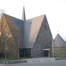
St. Pauli Bekehrung
8 km
Bahnhof Dhronecken
4.7 km
Burgkopf
6.8 km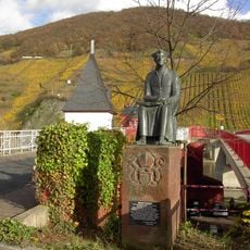
Standbild des Johannes Trithemius
10.7 km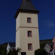
Ferry tower, Mehring
10 km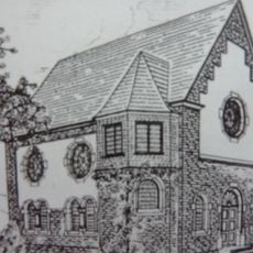
Synagogue
10.6 km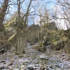
Herler Felsen
6.2 km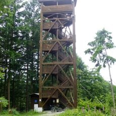
Fünf-Seen-Blick
7.8 km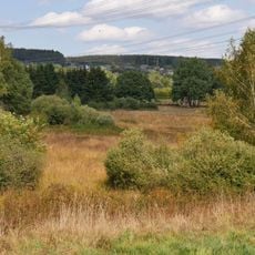
Eidenbruch bei Gusenburg
10.9 km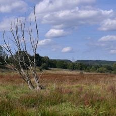
Osterbachtal bei Reinsfeld
6.4 km
Fellerbachtal
7.4 kmReviews
Visited this place? Tap the stars to rate it and share your experience / photos with the community! Try now! You can cancel it anytime.
Discover hidden gems everywhere you go!
From secret cafés to breathtaking viewpoints, skip the crowded tourist spots and find places that match your style. Our app makes it easy with voice search, smart filtering, route optimization, and insider tips from travelers worldwide. Download now for the complete mobile experience.

A unique approach to discovering new places❞
— Le Figaro
All the places worth exploring❞
— France Info
A tailor-made excursion in just a few clicks❞
— 20 Minutes