Kalmithöhenstraße, Mountain road in Rhineland-Palatinate, Germany
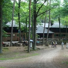
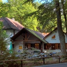
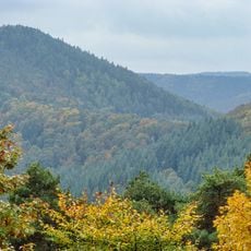
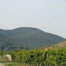
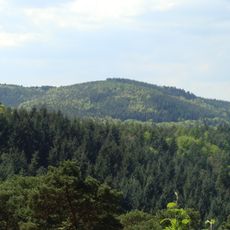
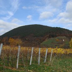
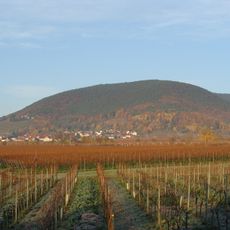
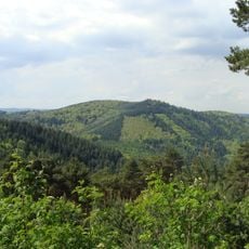
Kalmithöhenstraße is a mountain road in Rhineland-Palatinate that spans 7500 meters through the landscape, navigating numerous curves and elevation changes along its path. The route provides different views of the surrounding region and connects multiple points across the hilly terrain.
The road was designed and opened in 1937 by Franz Allmaras during a period when major infrastructure projects were being developed across Germany. This project was part of a broader phase of road development in the region during that era.
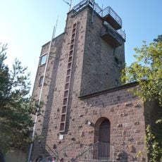
The road takes its name from the surrounding heights and shows how transportation routes were designed in the region. Visitors can see how the route fits into the landscape and what practical solutions were applied to handle the steep terrain.
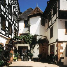
The road is accessible throughout the year for drivers, cyclists, and walkers, with several spots available for stopping along the way. Good footwear is recommended if exploring the route on foot, and driving conditions may vary depending on the season.
The road was notable as a technical solution designed to master steep slopes without compromising safety. This engineering work shows how creatively infrastructure planning addressed difficult terrain at that time.
The community of curious travelers
AroundUs brings together thousands of curated places, local tips, and hidden gems, enriched daily by 60,000 contributors worldwide.