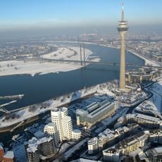
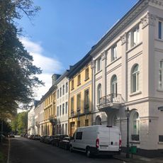
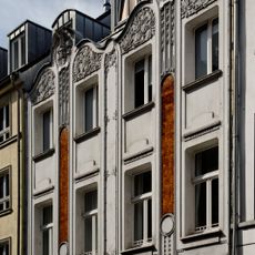
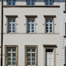
Spee'scher Graben, Body of water in Carlstadt, Germany.
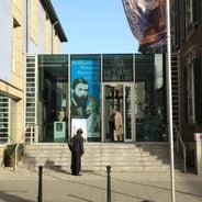
Spee'scher Graben is a waterway in Carlstadt fed by the southern Düssel, lying between Poststraße and Berger Allee. A peninsula reachable from Poststraße splits it into a larger southern basin and a narrower northern channel beside the Palais Spee, today the Stadtmuseum. Its present banks and shape date from the 1830s plans of garden designer Maximilian Weyhe.
The Spee'scher Graben was laid out from 1806 on the site of the former Bastion Marie Amalie, after the Lunéville peace of 1801 forbade rebuilding Düsseldorf's demolished fortifications. From 1802 the old defensive waters were reshaped and a ring of park ponds created. Its present form with banks dates from the 1830s, planned by garden master Maximilian Weyhe; around 1885 a direct link to the Rhine was built for flood protection.
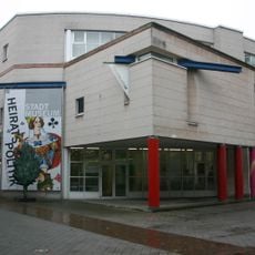
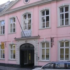
The waterway takes its name from the Palais Spee, the neighbouring building that now houses the Stadtmuseum. Until the end of the 19th century the city leased its waters for fishing: between 1878 and 1891 the Grafen von Spee paid 75 marks a year to fish the Spee'scher Graben, a sum recorded in Düsseldorf's budget.
Walking paths run along the waterway, allowing you to follow its course and observe the surroundings. Watch for wet areas and plants that may obstruct the path, especially after rainfall when water levels can rise.
Because the Spee'scher Graben is largely still water despite the inflow from the Düssel, silt, autumn leaves and dying water plants settle in it and it silts up quickly. It is therefore dredged at short intervals to prevent swamp gas from forming and causing odour problems for nearby parts of the city; the city budget has listed sums for this cleaning regularly since the 1880s.
The community of curious travelers
AroundUs brings together thousands of curated places, local tips, and hidden gems, enriched daily by 93,133 contributors worldwide.