
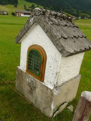
Bildstock, bildstock, im Kern 18./19. Jahrhundert
Location: Bolsterlang
Address: Eschäcker, 150 m östlich des Ortes.
GPS coordinates: 47.45567,10.23533
Latest update: March 4, 2025 20:04
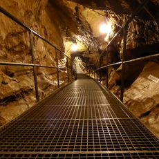
Sturmann Cave
2.2 km
Judenkirche
3.4 km
Bolsterlanger Horn
2.1 km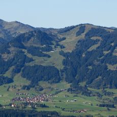
Weiher Kopf
2.8 km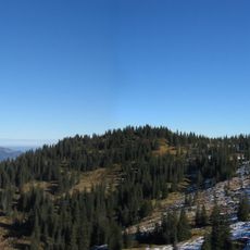
Wannenkopf
3.4 km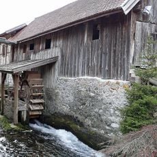
Sägewerk
2.5 km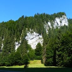
Felshang an der Lochbachstraße
2.9 km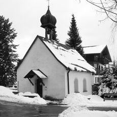
St. Wolfgang
3.3 km
Golf Resort Sonnenalp - Golfplatz Sonnenalp
3.1 km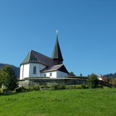
Ehemalige Katholische Pfarrkirche St. Katharina
1.1 km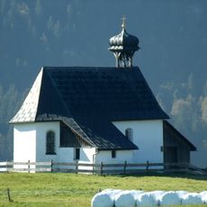
St. Sebastian
1.5 km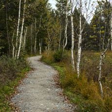
Schutz von Landschaftsteilen des Tiefenberger Mooses
3 km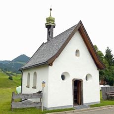
Katholische Marienkapelle
2 km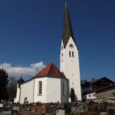
St. Verena
2.9 km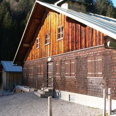
Zunkleiten Alpe
2.5 km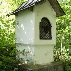
Bildstock
3.4 km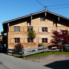
Ehemaliges Bauernhaus
343 m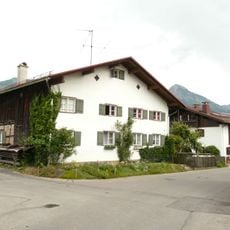
Bauernhaus
2.5 km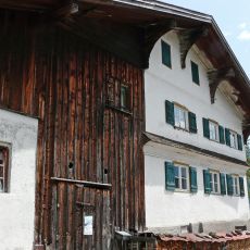
Bauernhaus
1.6 km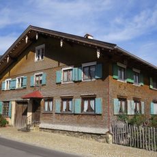
Ehemaliges Bauernhaus und Schmiede
971 m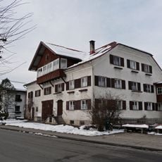
Ehemaliges Bauernhaus
2.7 km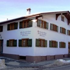
Ehemaliges Bauernhaus - jetzt Heimatmuseum
2.8 km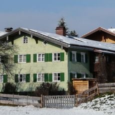
Bauernhaus
2.5 km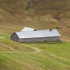
Oberalpe
3.4 km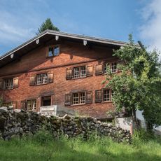
Bauernhaus
3.3 km
Ehemaliges Bauernhaus
3.4 km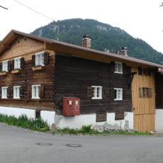
Bauernhaus
2 km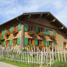
Ehemaliges Kleinbauernhaus
1 kmVisited this place? Tap the stars to rate it and share your experience / photos with the community! Try now! You can cancel it anytime.
Discover hidden gems everywhere you go!
From secret cafés to breathtaking viewpoints, skip the crowded tourist spots and find places that match your style. Our app makes it easy with voice search, smart filtering, route optimization, and insider tips from travelers worldwide. Download now for the complete mobile experience.

A unique approach to discovering new places❞
— Le Figaro
All the places worth exploring❞
— France Info
A tailor-made excursion in just a few clicks❞
— 20 Minutes