
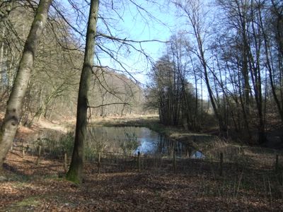
Jammertal, nature reserve in Bielefeld, Germany
Location: Bielefeld
Inception: 1996
Part of: Jammertal
GPS coordinates: 52.08734,8.60682
Latest update: March 12, 2025 02:00
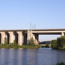
Schildescher Viadukt
4.5 km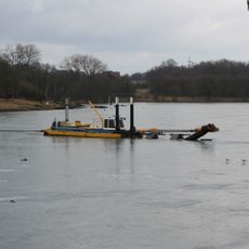
Obersee
4.2 km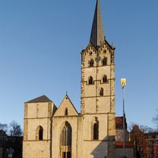
Herford Abbey
5.2 km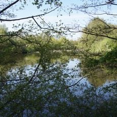
Töpker Teich
5.3 km
Stiftskirche Schildesche
5.1 km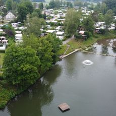
Elisabethsee
3.1 km
Nahverkehr im Kreis Herford
5.3 km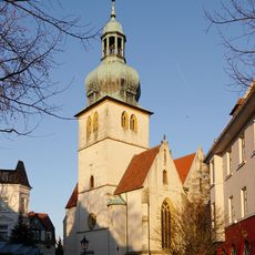
St. Jacobi
5.1 km
Evangelische Kirche Oldinghausen-Pödinghausen
5.1 km
Daniel-Pöppelmann-Haus
5 km
Jüdischer Friedhof (Herford)
4.9 km
Alter Friedhof Herford
5 km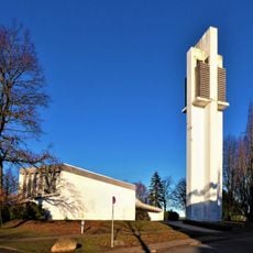
Evangelische Kirche Vilsendorf
4.1 km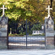
Friedhof Hermannstraße
4.8 km
Fachschule für Agrarwirtschaft Herford
5.2 km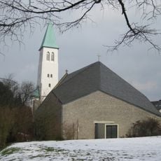
St. Johannes Baptist (Bielefeld)
5.1 km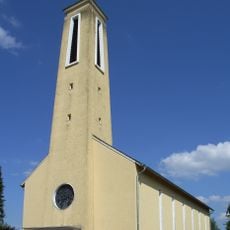
Heilig-Kreuz-Kirche
2.2 km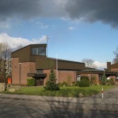
Maria Königin
4 km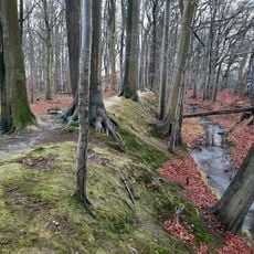
Speckenbach
4.3 km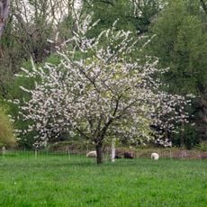
Dankmasch
4.2 km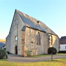
St John's Chapel
5.1 km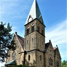
Evangelical church
1.9 km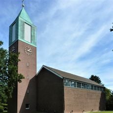
Church of the Resurrection
1.2 km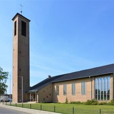
Evangelische Kirche Herringhausen
4.7 km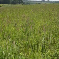
LSG Johannisbach-Unterseebereich
3.6 km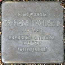
Stolperstein dedicated to Hans Davidsohn
5.3 km
Kapelle Friedhof Hermannstraße
4.9 km
Kurfürstenstraße 15
5.3 kmReviews
Visited this place? Tap the stars to rate it and share your experience / photos with the community! Try now! You can cancel it anytime.
Discover hidden gems everywhere you go!
From secret cafés to breathtaking viewpoints, skip the crowded tourist spots and find places that match your style. Our app makes it easy with voice search, smart filtering, route optimization, and insider tips from travelers worldwide. Download now for the complete mobile experience.

A unique approach to discovering new places❞
— Le Figaro
All the places worth exploring❞
— France Info
A tailor-made excursion in just a few clicks❞
— 20 Minutes