
Priesterstein bei Oberau, Geotop in Landkreis Berchtesgadener Land in Bavaria, Germany
Location: Berchtesgaden
Elevation above the sea: 854 m
Length: 50 m
Width: 35 m
Website: http://www.umweltatlas.bayern.de/mapapps/resources/reports/geotope/generateBericht.pdf?additionallayerfieldvalue=172R005
GPS coordinates: 47.65057,13.07385
Latest update: April 23, 2025 00:38
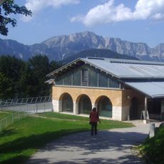
Dokumentationszentrum Obersalzberg
3.3 km
Teahouse on Mooslahnerkopf Hill
3.1 km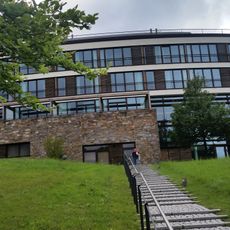
Kempinski Hotel Berchtesgaden
2.8 km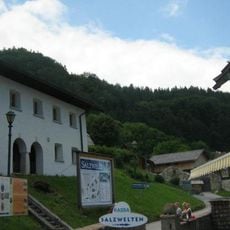
Hallein Salt Mine
2.2 km
Kapelle der Kuranstalt St. Josef
2 km
Roßfeld
3 km
Zinkenkopf
980 m
Pfarr- und Wallfahrtskirche Dürrnberg
2.1 km
Stiege zum Augustinerkloster
3.4 km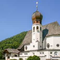
Zur Heiligen Familie
1.1 km
Benediktschlössl
3.5 km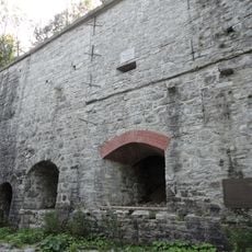
Zementofen
3.2 km
Obere Ahornalm
3.5 km
Keltendorf Spielplatz
2.2 km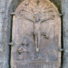
Kreuzigungsrelief Dürrnberg
3.1 km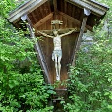
Kruzifix Teufelsmühle
3.2 km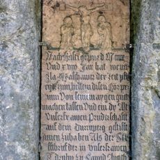
Inschrifttafel 1518 Dürrnberg
3.1 km
Former home for the elderly of company Borregaard
3.5 km
Volksschule
2 km
Historical settlement and graveyard
2.5 km
Nischenfigur Madonna Dürrnberg
3.1 km
Ehem. Mühle am Antlesbach, ehem. Spital
3.5 km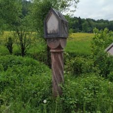
Wayside shrine
3 km
Färberhaus
3.5 km
Fundamentreste des ehemaligen Berghof-Areals
3.1 km
Doktorhaus, alte Bergschmiede
2 km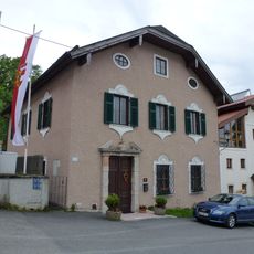
Pfarrhof
2 km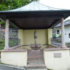
Liebfrauenbründl (Hallein-Dürrnberg)
2 kmReviews
Visited this place? Tap the stars to rate it and share your experience / photos with the community! Try now! You can cancel it anytime.
Discover hidden gems everywhere you go!
From secret cafés to breathtaking viewpoints, skip the crowded tourist spots and find places that match your style. Our app makes it easy with voice search, smart filtering, route optimization, and insider tips from travelers worldwide. Download now for the complete mobile experience.

A unique approach to discovering new places❞
— Le Figaro
All the places worth exploring❞
— France Info
A tailor-made excursion in just a few clicks❞
— 20 Minutes