
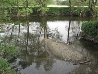
Schwäbisch Haller Bucht, protected area in the European Union defined by the habitats directive in Baden-Württemberg, Germany
Location: Landkreis Schwäbisch Hall
Inception: 2004
GPS coordinates: 49.08596,9.72170
Latest update: March 3, 2025 13:24
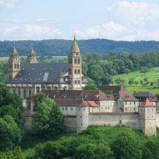
Monastery of Comburg
2.6 km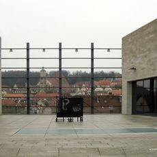
Kunsthalle Würth
2.9 km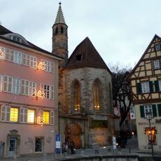
Johanniterkirche
3.1 km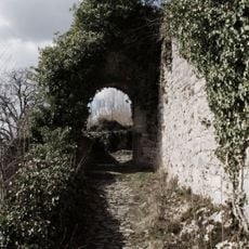
Limpurg
3 km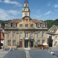
Rathaus Schwäbisch Hall
3.1 km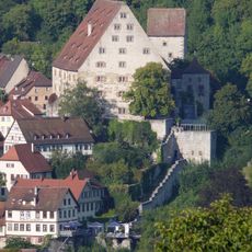
Neubau
3.1 km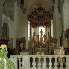
Klosterkirche Comburg
2.6 km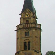
Saint Catherine Church
2.9 km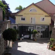
Hällisch-Fränkisches Museum
3 km
Schloss Tullau
2 km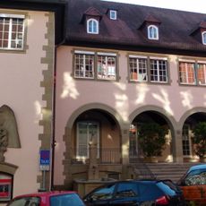
Kreissparkasse
3.1 km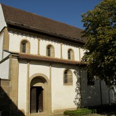
St. Ägidius
2.4 km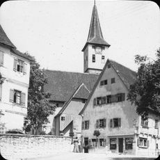
Kirche St. Urban
2.7 km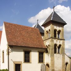
Michaelskapelle
2.6 km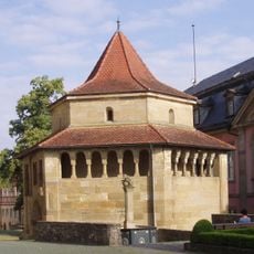
Erhardskapelle
2.6 km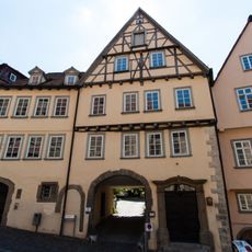
Bonhoeffer-Haus
3.2 km
Altes Solbad
2.9 km
Stellwaghaus
3.1 km
Berlerhof
3.2 km
81, Unterlimpurger Street
2.7 km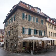
Siedersburg
3.1 km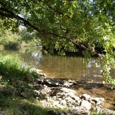
Kochertal zwischen Westheim und Steinbach einschließlich Klingenbach sowie Geiß- und Eselsklinge
1.7 km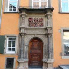
Widmanhaus
3.1 km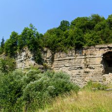
Talhänge um Schwäbisch Hall
2.6 km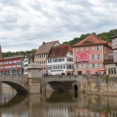
Henkersbrücke
3.1 km
Erhardteiche
2.4 km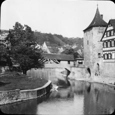
Roter Steg
2.9 km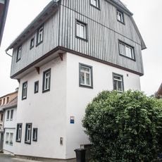
Brüdergasse 27
2.8 kmVisited this place? Tap the stars to rate it and share your experience / photos with the community! Try now! You can cancel it anytime.
Discover hidden gems everywhere you go!
From secret cafés to breathtaking viewpoints, skip the crowded tourist spots and find places that match your style. Our app makes it easy with voice search, smart filtering, route optimization, and insider tips from travelers worldwide. Download now for the complete mobile experience.

A unique approach to discovering new places❞
— Le Figaro
All the places worth exploring❞
— France Info
A tailor-made excursion in just a few clicks❞
— 20 Minutes