
Nettetal, protected area in the European Union defined by the habitats directive in Rheinland-Pfalz, Germany
Location: Weißenthurm
Location: Andernach
Location: Saffig
Location: Plaidt
Location: Ochtendung
Location: Welling
Location: Trimbs
Location: Polch
Location: Mayen
Location: Sankt Johann
Location: Ettringen
Location: Rieden
Location: Kirchwald
Location: Weibern
Location: Hausten
Location: Langscheid
Location: Arft
Location: Hohenleimbach
Location: Kempenich
Inception: 2003
GPS coordinates: 50.36785,7.26252
Latest update: April 24, 2025 01:07
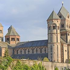
Maria Laach Abbey
3.9 km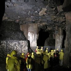
Lavakeller Mendig
1.9 km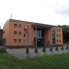
Lava-Dome Mendig
1.7 km
Fulbert-Stollen
3.7 km
Mayener Grubenfeld
4 km
St. Clemens
5.1 km
Fraukirch
4 km
Hochsimmer
4.5 km
Gänsehals
5.2 km
German Volcano Museum lava dome
1.7 km
Ettringer Lay
3.7 km
Hochstein
3.1 km
St. Cyriakus
1 km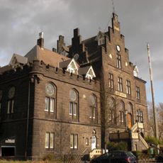
Mendig station
2 km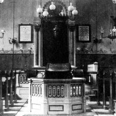
Synagoge (Mayen)
5.2 km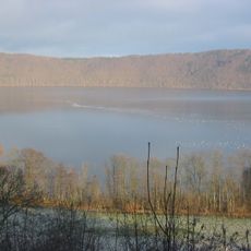
Laacher See
5 km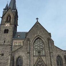
St. Nikolaus
2.2 km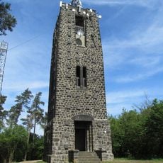
Hochsimmer Tower
4.3 km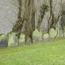
Jewish cemetery, Mayen
5 km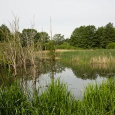
Thuerer Wiesen
2.3 km
Gänsehals, Schorenberg, Burgberg und Schmitzkopf
5.3 km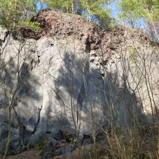
Kottenheimer Winfeld
2.1 km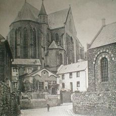
Synagoge
1.1 km
Jüdisches Schulhaus
5.1 km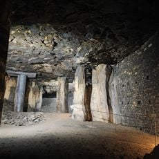
Lavakeller (Mendig)
1.9 km
Hochstein
2.6 km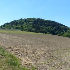
Hochsimmer
4.6 km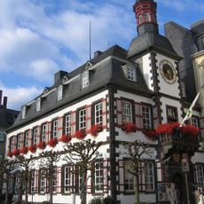
Altes Rathaus
5.2 kmReviews
Visited this place? Tap the stars to rate it and share your experience / photos with the community! Try now! You can cancel it anytime.
Discover hidden gems everywhere you go!
From secret cafés to breathtaking viewpoints, skip the crowded tourist spots and find places that match your style. Our app makes it easy with voice search, smart filtering, route optimization, and insider tips from travelers worldwide. Download now for the complete mobile experience.

A unique approach to discovering new places❞
— Le Figaro
All the places worth exploring❞
— France Info
A tailor-made excursion in just a few clicks❞
— 20 Minutes