
Kerpener Bruch und Parrig, protected area in the European Union defined by the habitats directive in Nordrhein-Westfalen, Germany
Location: Kerpen
Inception: 1999
GPS coordinates: 50.88222,6.71158
Latest update: March 30, 2025 14:36
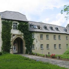
Burg Hemmersbach
4.1 km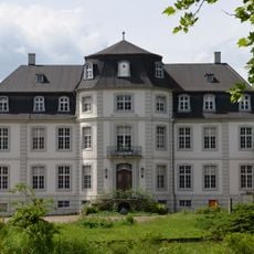
Schloss Türnich
2.9 km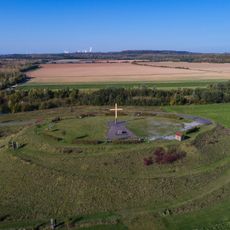
Marienfeld
1.9 km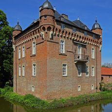
Schloss Loersfeld
1.4 km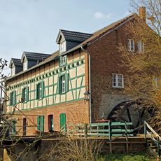
Gymnicher Mühle
3.4 km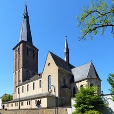
St. Martinus
1.9 km
Bottenbroich Abbey
1.9 km
Burg Kerpen
1.3 km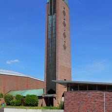
Regina Coeli Church (Sindorf)
3.7 km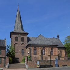
St. Ulrich
4 km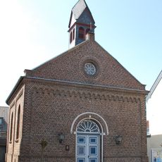
Johanneskirche
2 km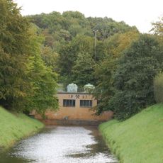
Ville-Stollen
2.5 km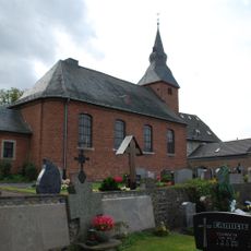
St. Cyriakus
2.1 km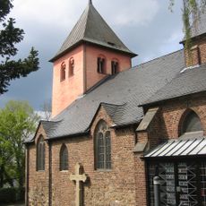
St. Clemens
3 km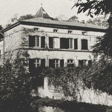
Burg Boisdorf
2 km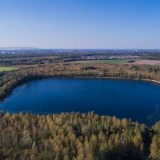
Boisdorfer See und Fürstenberggraben
1.8 km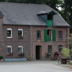
Horremer Mühle
3.6 km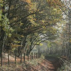
Parrig
2.2 km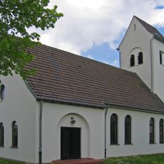
Christus-Kirche
3.5 km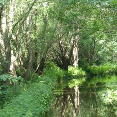
Kerpener Bruch sowie die südlich angrenzenden Freiflächen und ehemalige Abgrabungsbereiche
1.2 km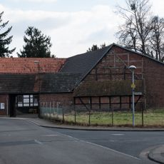
Obermühle
2.4 km
Naturparkzentrum Gymnicher Mühle
3.4 km
Schloß Lörsfeld
1.4 km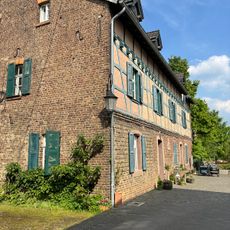
Wassererlebnispark
3.5 km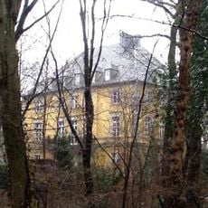
Mödrath castle
666 m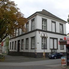
City archives Kerpen
1.9 km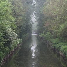
Erftaue im Umfeld der Auenwälder Parrig und Kerpener Broich
387 m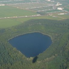
Fürstenberg-Maar
4 kmReviews
Visited this place? Tap the stars to rate it and share your experience / photos with the community! Try now! You can cancel it anytime.
Discover hidden gems everywhere you go!
From secret cafés to breathtaking viewpoints, skip the crowded tourist spots and find places that match your style. Our app makes it easy with voice search, smart filtering, route optimization, and insider tips from travelers worldwide. Download now for the complete mobile experience.

A unique approach to discovering new places❞
— Le Figaro
All the places worth exploring❞
— France Info
A tailor-made excursion in just a few clicks❞
— 20 Minutes