
Korker Wald, special protection areas in Baden-Württemberg, Germany
Location: Ortenau
Inception: 2006
GPS coordinates: 48.59810,7.94420
Latest update: March 20, 2025 05:19
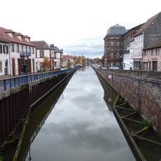
Marne–Rhine Canal
10.4 km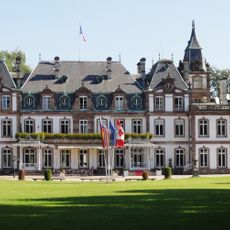
Château de Pourtalès
10.7 km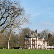
Parc Pourtalès
10.7 km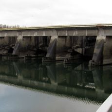
Gambsheim barrage
9.9 km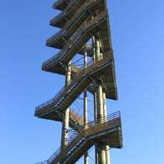
Weißtannenturm
10.6 km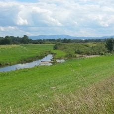
Acher-Rench-Korrektion
9.4 km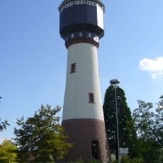
Kehl Water Tower
10.3 km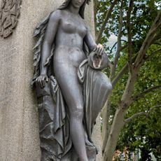
Mutter Kinzig
10.2 km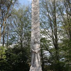
Landes-Feuerwehr-Ehrenmal Baden-Württemberg
8.9 km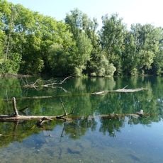
Réserve naturelle nationale du massif forestier de la Robertsau et de La Wantzenau
9.7 km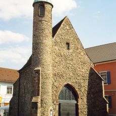
Nikolauskapelle
9.8 km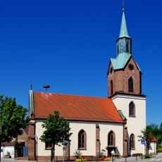
St. Anastasius
6.7 km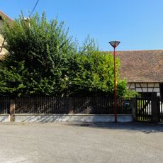
Moulin à huile de La Wantzenau
10.6 km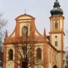
St. Michael
7 km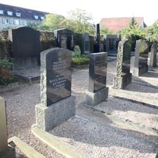
Jewish cemetery of Kehl
9.2 km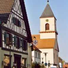
Hl. Kreuz
5.2 km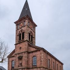
St. Wendelin
8 km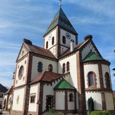
St. Johannes der Taufer
4.5 km
Renchener Minigolf
5.3 km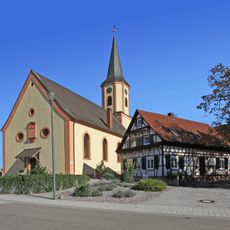
St. Georg (Rheinau-Freistett)
7.7 km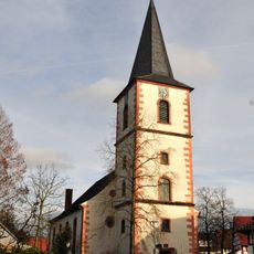
Evangelische Dorfkirche
6.6 km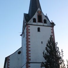
Kirche Legelshurst
3.9 km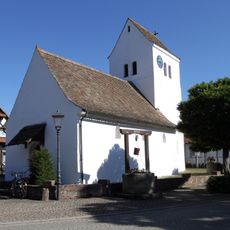
Heidenkirchel St. Nikolaus Rheinau-Freistett
8.9 km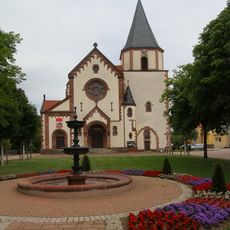
St. Stefan (Oberachern)
10.6 km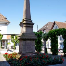
Hans Jakob Christoffel von Grimmelshausen monument
5.2 km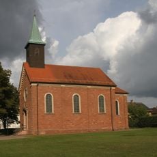
Saint John the Baptist (Rheinau-Rheinbischofsheim)
6.3 km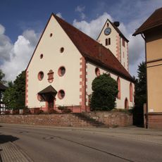
Protestant church
5.2 km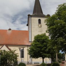
St. Nikolaus (Achern-Gamshurst)
9 kmReviews
Visited this place? Tap the stars to rate it and share your experience / photos with the community! Try now! You can cancel it anytime.
Discover hidden gems everywhere you go!
From secret cafés to breathtaking viewpoints, skip the crowded tourist spots and find places that match your style. Our app makes it easy with voice search, smart filtering, route optimization, and insider tips from travelers worldwide. Download now for the complete mobile experience.

A unique approach to discovering new places❞
— Le Figaro
All the places worth exploring❞
— France Info
A tailor-made excursion in just a few clicks❞
— 20 Minutes