Marne–Rhine Canal, Summit level canal in northeastern France
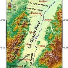
The Marne-Rhine Canal is a waterway linking the Marne River at Vitry-le-François with the Rhine River near Strasbourg, stretching across 313 kilometers through changing countryside. The route uses 154 locks to manage elevation changes and is designed for vessels up to 38.50 meters long and 5.05 meters wide.
Construction began in 1838 and the waterway opened in 1853, representing a major step forward in French transport during the industrial age. The project aimed to link major river systems and boost trade across eastern France.
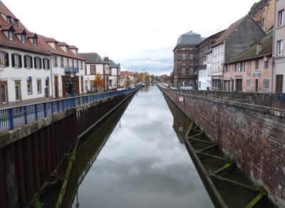
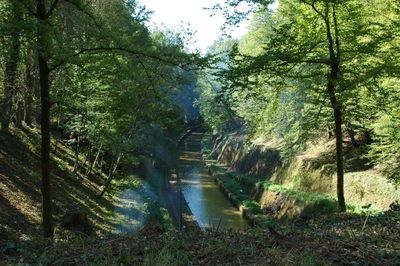
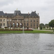
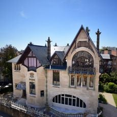
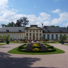
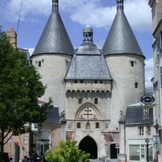
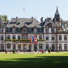
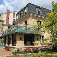
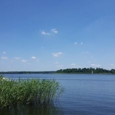
The waterway passes through villages and towns where local life has long centered on boat traffic and trade. You notice this in how people interact with the water and in the architecture of port communities along the banks.
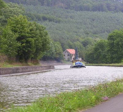
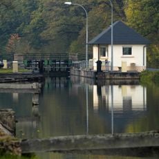
The waterway is accessible through a network of locks that help vessels navigate elevation changes and move through stable water sections. Visitors should expect that lock passages take time and water conditions vary depending on the season.
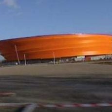
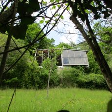
The Saint-Louis-Arzviller inclined plane replaced 17 traditional locks, using an ingenious system to help boats cross elevation changes. This 20th-century engineering solution is uncommon in European waterway networks.
The community of curious travelers
AroundUs brings together thousands of curated places, local tips, and hidden gems, enriched daily by 60,000 contributors worldwide.