
Igelriede, protected landscape in Lower Saxony, Germany
Location: Cloppenburg
Inception: 1992
GPS coordinates: 52.92680,7.91026
Latest update: June 17, 2025 12:47
Wehlburg
13.1 km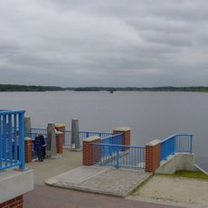
Thülsfelder Stausee
2.2 km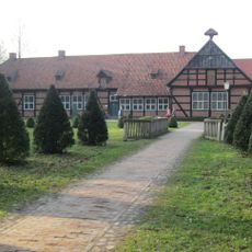
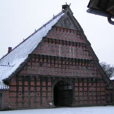
Cloppenburg Museum Village
12.8 km
Tier- und Freizeitpark Thüle
3.6 km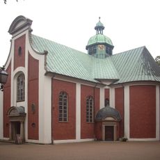
St. Mary, Mother of Seven Sorrows
12.4 km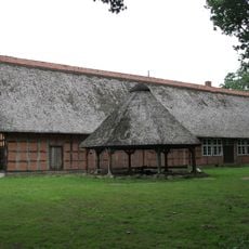
Quatmannshof
12.8 km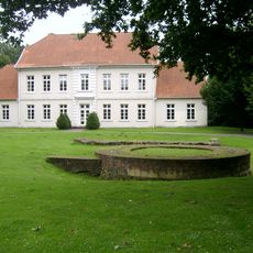
Burg Cloppenburg
12.7 km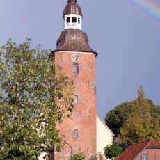
St. Andreas
12.6 km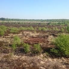
Molberger Dose
8.5 km
St. Josef-Kirche
12.4 km
Molli Bär Spielpark
8.2 km
St. Marien
11 km
St. Vituskirche
11.8 km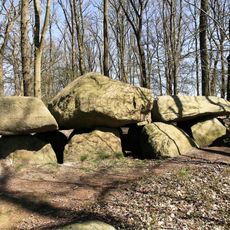
Teufelssteine Molbergen
7.2 km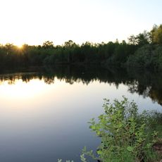
Großes Tate Meer
11.9 km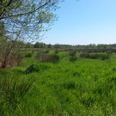
Bockholter Dose
13.1 km
Talsperre Thülsfeld
1.6 km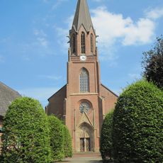
St. Katharina von Siena
12.5 km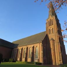
St. Peter und Paul
8.3 km
Schlingsteine
12.3 km
Aquaferrum
10 km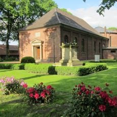
St. Prosper
11.2 km
Evangelisch-lutherische Kirche Cloppenburg
12.3 km
Campingplatz Einhaus
2.6 km
Eberborg-Brunnen
12.5 km
Friedenskirche
8.1 km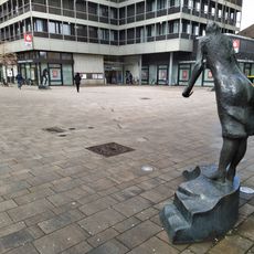
Dialog
12.7 km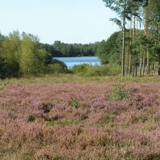
Heiden und Moore an der Talsperre Thülsfeld
2.6 kmReviews
Visited this place? Tap the stars to rate it and share your experience / photos with the community! Try now! You can cancel it anytime.
Discover hidden gems everywhere you go!
From secret cafés to breathtaking viewpoints, skip the crowded tourist spots and find places that match your style. Our app makes it easy with voice search, smart filtering, route optimization, and insider tips from travelers worldwide. Download now for the complete mobile experience.

A unique approach to discovering new places❞
— Le Figaro
All the places worth exploring❞
— France Info
A tailor-made excursion in just a few clicks❞
— 20 Minutes