
Rheinvorland, protected landscape area in Baden-Württemberg, Germany
Location: Lörrach
Inception: 1972
GPS coordinates: 47.66680,7.53294
Latest update: March 16, 2025 19:25

Isteiner Klotz
446 m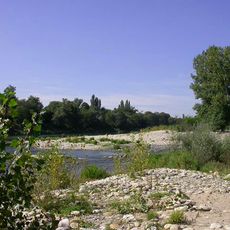
Isteiner Schwellen
2.3 km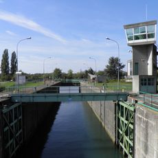
Écluse de Kembs-Niffer
4.7 km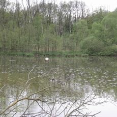
Petite Camargue Alsacienne
4.9 km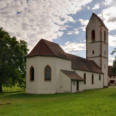
Peterskirche
3.1 km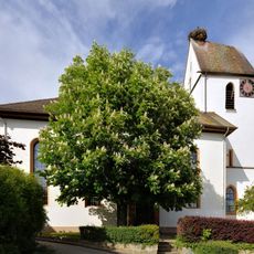
Evangelische Kirche Mappach
5.2 km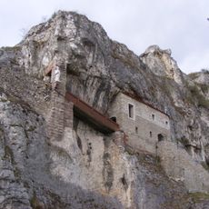
Burg Istein
446 m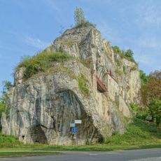
Isteiner Klotz
217 m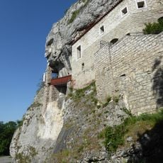
St.-Veits-Kapelle im Isteiner Klotzen
614 m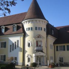
Schloss Rheinweiler
4.9 km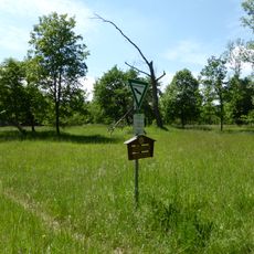
Totengrien
1.4 km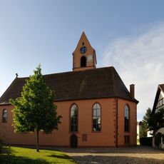
Evangelische Kirche (Kirchen)
3.4 km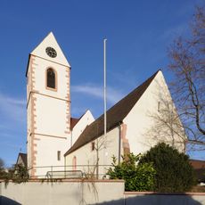
Protestant church Fischingen
5.1 km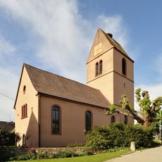
Evangelische Kirche (Egringen)
4.7 km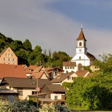
St. Michael
727 m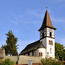
Evangelische Kirche (Kleinkems)
2.4 km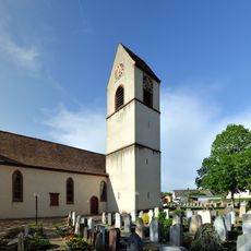
Evangelische Kirche (Efringen)
2.5 km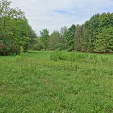
Kapellengrien
3.8 km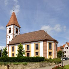
Evangelische Kirche Wintersweiler
2.8 km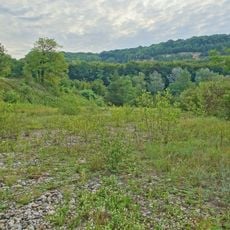
Blansinger Grien
955 m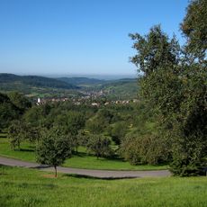
Rheinniederung Haltingen–Neuenburg mit Vorbergzone
3.9 km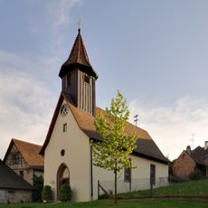
Evangelische Kirche Welmlingen
3.4 km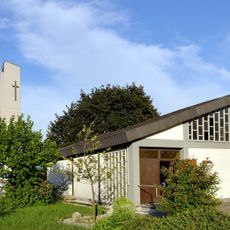
St. Nikolaus
1.4 km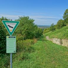
Eichholz-Buchholz
3.3 km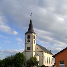
Église Saint-Fridolin de Rosenau
2.9 km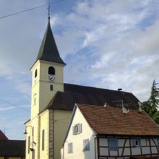
Eglise St-Jean-Baptiste de Kembs
3.4 km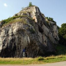
Isteiner Klotz
124 m
Chapelle Saint-Martin de Bartenheim la Chaussée
3.4 kmReviews
Visited this place? Tap the stars to rate it and share your experience / photos with the community! Try now! You can cancel it anytime.
Discover hidden gems everywhere you go!
From secret cafés to breathtaking viewpoints, skip the crowded tourist spots and find places that match your style. Our app makes it easy with voice search, smart filtering, route optimization, and insider tips from travelers worldwide. Download now for the complete mobile experience.

A unique approach to discovering new places❞
— Le Figaro
All the places worth exploring❞
— France Info
A tailor-made excursion in just a few clicks❞
— 20 Minutes