
Borghorster Venn, Landschaftsschutzgebiet in Nordrhein-Westfalen
Location: Steinfurt
Inception: 1969
GPS coordinates: 52.15294,7.42683
Latest update: June 10, 2025 07:50
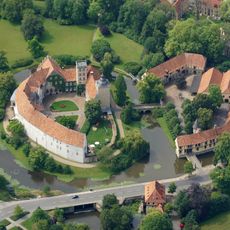
Schloss Burgsteinfurt
5.3 km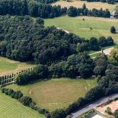
Steinfurter Bagno
4.7 km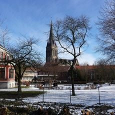
St. Nikomedes
3.5 km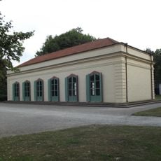
Konzerthalle im Steinfurter Bagno
4.9 km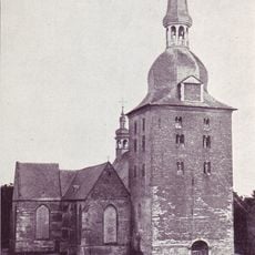
Stift Borghorst
3.5 km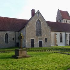
Große Kirche
5.9 km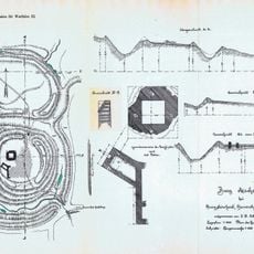
Burg Ascheberg
4.6 km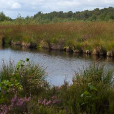
Emsdettener Venn
4.1 km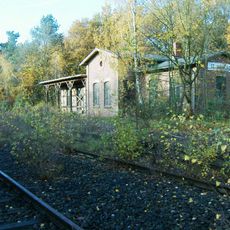
St. Arnold railway station
6.4 km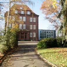
Missionshaus St. Arnold
6 km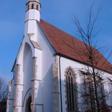
Kleine Kirche
6 km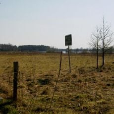
Grafensteiner See
2.9 km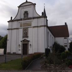
St. Johannes Nepomuk (Burgsteinfurt)
6.1 km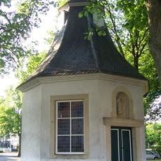
Aloysiuskapelle (Borghorst)
3.7 km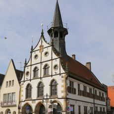
Altes Rathaus (Burgsteinfurt)
6 km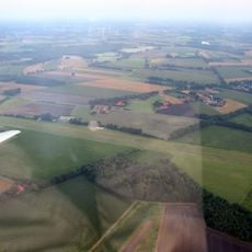
Segelfluggelände Borghorst
1.7 km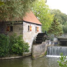
Niedermühle Burgsteinfurt
6 km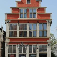
Haus Markt 16
6 km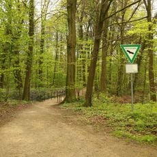
Am Bagno – Buchenberg
3.4 km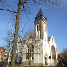
Gustav-Adolf church (Emsdetten)
7.1 km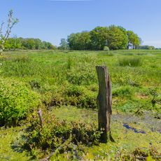
Wiesen am Max-Clemens-Kanal
3.2 km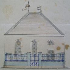
Synagoge Borghorst
3.9 km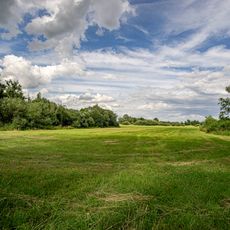
Emsdettener Venn und Wiesen am Max-Clemens-Kanal
3.4 km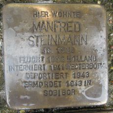
Stolperstein dedicated to Manfred Steinmann
6 km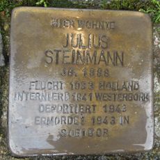
Stolperstein dedicated to Julius Steinmann
6 km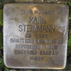
Stolperstein dedicated to Karl Steinmann
6 km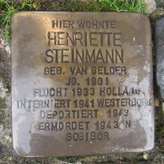
Stolperstein dedicated to Henriette Steinmann
6 km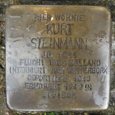
Stolperstein dedicated to Kurt Steinmann
6 kmReviews
Visited this place? Tap the stars to rate it and share your experience / photos with the community! Try now! You can cancel it anytime.
Discover hidden gems everywhere you go!
From secret cafés to breathtaking viewpoints, skip the crowded tourist spots and find places that match your style. Our app makes it easy with voice search, smart filtering, route optimization, and insider tips from travelers worldwide. Download now for the complete mobile experience.

A unique approach to discovering new places❞
— Le Figaro
All the places worth exploring❞
— France Info
A tailor-made excursion in just a few clicks❞
— 20 Minutes