
LSG-Engelskirchen <2.2.1>, protected area in Germany
Location: Engelskirchen
Inception: 2005
GPS coordinates: 50.97708,7.43365
Latest update: June 10, 2025 02:18
Wind hole in the Mühlenberg
2.3 km
Wiehltal bridge
4 km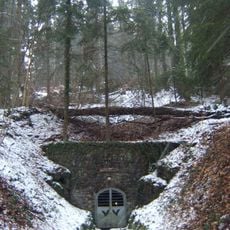
Aggertalhöhle
2.1 km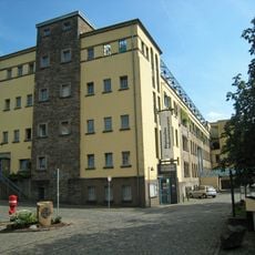
Baumwollspinnerei Ermen & Engels
1.8 km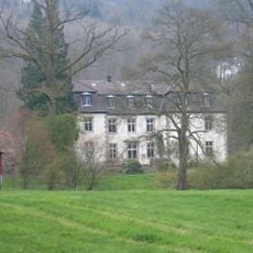
Burg Alsbach
3.1 km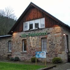
German angel museum
1.9 km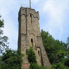
Haldy-Tower
3.6 km
Heckberg
3.8 km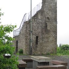
Meerhardtturm
5.9 km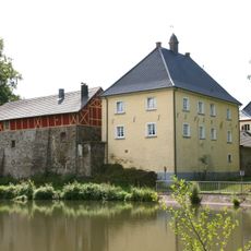
Haus Ley
1.2 km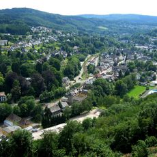
Hohe Warte
2.1 km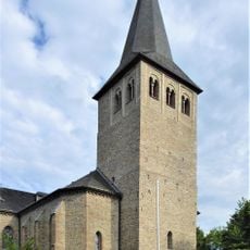
Saints Peter and Paul Church
2.5 km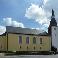
Protestant Church (Drabenderhöhe)
3.9 km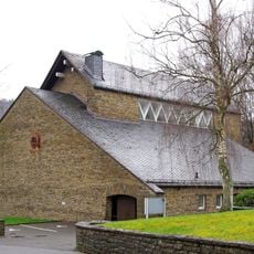
St. Bonifatius
4.6 km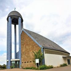
Jubilate-Kirche
6 km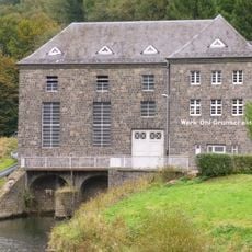
Elektrizitätswerk Grünscheid
4 km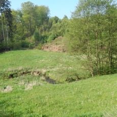
Schlingenbachtal
5.8 km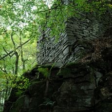
Felsenthal
5.4 km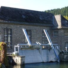
Elektrizitätswerk Ehreshoven I
6.2 km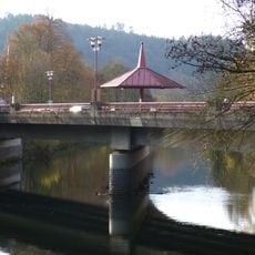
Aggerbrücke
4.6 km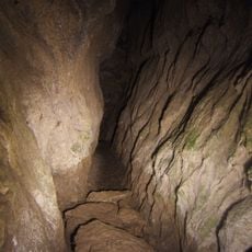
Altenberg und Aggertalhöhlen
2 km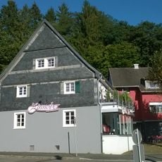
Horpestraße 4
2.3 km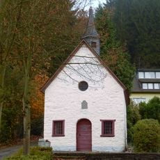
Rochuskapelle
4.4 km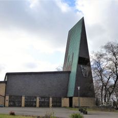
Evangelische Kirche (Schnellenbach)
3.2 km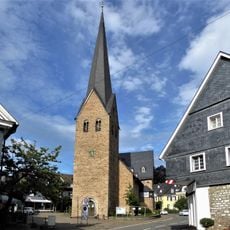
Protestant Church
2.8 km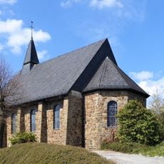
Church St. Michael
5.5 km
Schlosswald Ehreshoven
6.1 km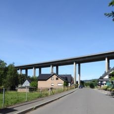
Loopetalbrücke
4.2 kmReviews
Visited this place? Tap the stars to rate it and share your experience / photos with the community! Try now! You can cancel it anytime.
Discover hidden gems everywhere you go!
From secret cafés to breathtaking viewpoints, skip the crowded tourist spots and find places that match your style. Our app makes it easy with voice search, smart filtering, route optimization, and insider tips from travelers worldwide. Download now for the complete mobile experience.

A unique approach to discovering new places❞
— Le Figaro
All the places worth exploring❞
— France Info
A tailor-made excursion in just a few clicks❞
— 20 Minutes