
Grünland- und Waldbereich östlich der A44, nördlich der A4, südlich St.Jöris
Grünland- und Waldbereich östlich der A44, nördlich der A4, südlich St.Jöris, protected landscape in Germany
Location: Würselen
Inception: 1991
GPS coordinates: 50.81692,6.20620
Latest update: March 7, 2025 11:39
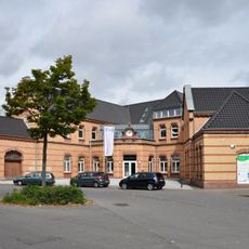
Stolberg Central Station
2.6 km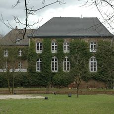
Burg Kinzweiler
3.7 km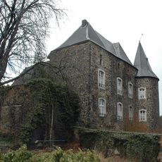
Burg Röthgen
3.9 km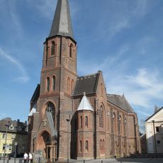
Holy Trinity Church
4.3 km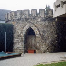
Burg Eschweiler
4.1 km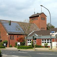
St. Hubert (Verlautenheide)
4.2 km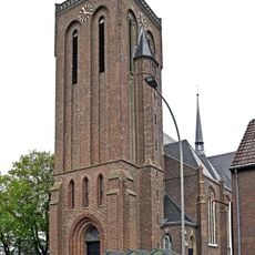
St. Lucia
3 km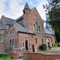
St. Willibrord
4.1 km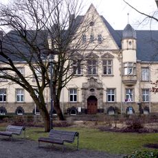
Amtsgericht Eschweiler
4.2 km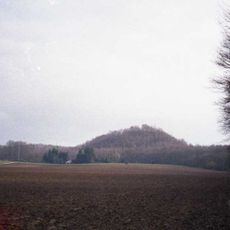
Schwarzer Berg
4.2 km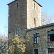
Kloster St. Jöris
2.1 km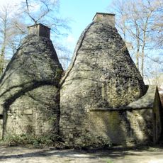
Atscher Mühle
3.1 km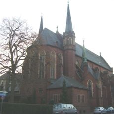
St. Marien
3.8 km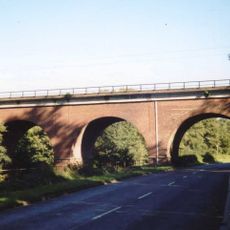
Dreibogenbrücke
2.4 km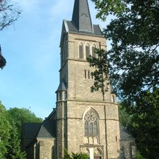
St. Nikolaus, Broichweiden
3 km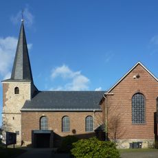
St. Cäcilia
3.5 km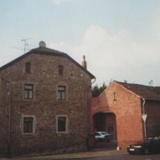
Pannhaus (Kinzweiler)
3.5 km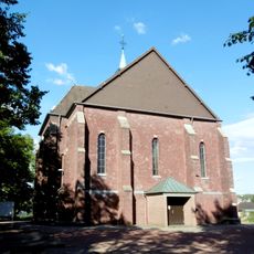
St. Sebastian
3.5 km
St. Jobs (Broichweiden)
4 km
Franziskuskirche
3.7 km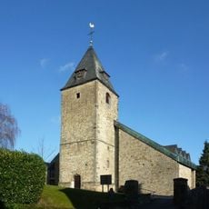
St. Blasius
3.4 km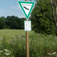
Saubachtal-Lehmsiefen nördlicher Teilbereich
2.8 km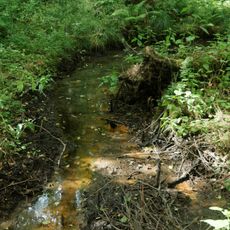
Saubachtal-Lehmsief südlicher Teilbereich
3.1 km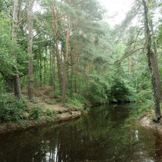
Eschweiler Wald
3.8 km
Würselener Wald mit angrenzenden Flächen
3.7 km
Propsteier Wald und Saubach
1.4 km
Propsteier Wald mit angrenzenden Flächen
1.3 km
Koppweiher im Eschweiler Wald
4.1 kmReviews
Visited this place? Tap the stars to rate it and share your experience / photos with the community! Try now! You can cancel it anytime.
Discover hidden gems everywhere you go!
From secret cafés to breathtaking viewpoints, skip the crowded tourist spots and find places that match your style. Our app makes it easy with voice search, smart filtering, route optimization, and insider tips from travelers worldwide. Download now for the complete mobile experience.

A unique approach to discovering new places❞
— Le Figaro
All the places worth exploring❞
— France Info
A tailor-made excursion in just a few clicks❞
— 20 Minutes