
Isselniederung, nature reserve in Germany
Location: Hamminkeln
Inception: 1991
GPS coordinates: 51.73905,6.62410
Latest update: March 6, 2025 12:26


Schloss Diersfordt
7.8 km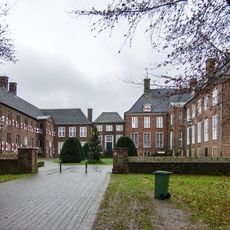
Schloss Ringenberg
720 m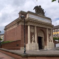
Berliner Tor
9.1 km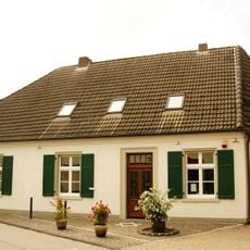
Humberghaus
3.6 km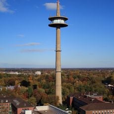
Fernmeldeturm „Langer Heinrich“
9 km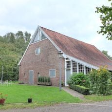
Otto Pankok Museum
6.1 km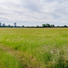
Vogelschutzgebiet 'Unterer Niederrhein'
5.3 km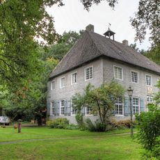
Haus Esselt
6.1 km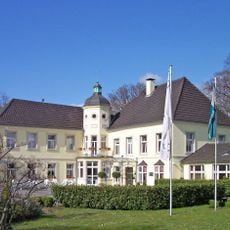
Gut Bossigt
6.1 km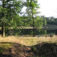
Schwarzes Wasser
5.7 km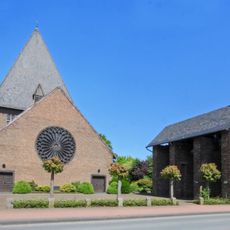
Christ-König
1 km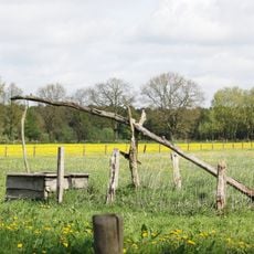
Dingdener Heide
5 km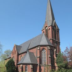
St. Mariä Himmelfahrt
2.6 km
Korbmacherstraße
9 km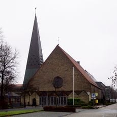
St. Martini
8.8 km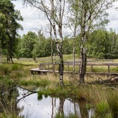
Diersfordter Wald
6.6 km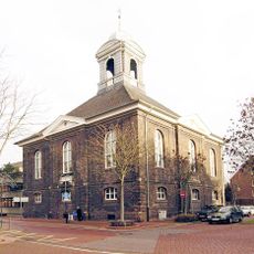
Lutherhaus Wesel
9 km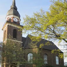
Evangelische Kirche
865 m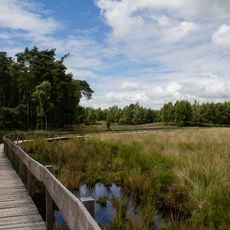
Grosses Veen
5.3 km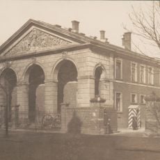
Klever Tor
9 km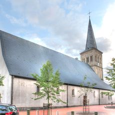
St. Pankratius
3.5 km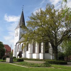
Evangelische Kirche
2.5 km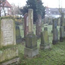
Jüdischer Friedhof
8.7 km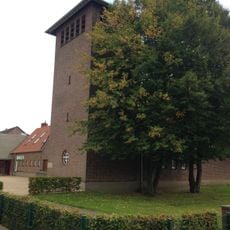
Gnadenkirche
9.2 km
Friedenstraße
8.9 km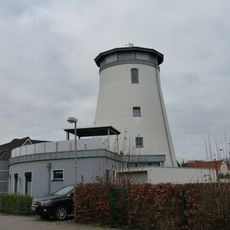
Mühle Beckmann
8.8 km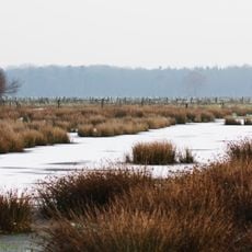
Büngernsche und Dingdener Heide
6 km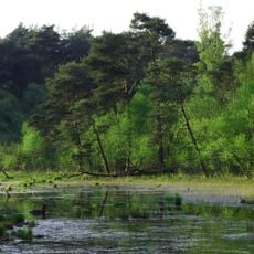
Diersfordter Wald/ Schnepfenberg
6.5 kmReviews
Visited this place? Tap the stars to rate it and share your experience / photos with the community! Try now! You can cancel it anytime.
Discover hidden gems everywhere you go!
From secret cafés to breathtaking viewpoints, skip the crowded tourist spots and find places that match your style. Our app makes it easy with voice search, smart filtering, route optimization, and insider tips from travelers worldwide. Download now for the complete mobile experience.

A unique approach to discovering new places❞
— Le Figaro
All the places worth exploring❞
— France Info
A tailor-made excursion in just a few clicks❞
— 20 Minutes