Vogelschutzgebiet 'Unterer Niederrhein', Bird protection area in Lower Rhine region, Germany
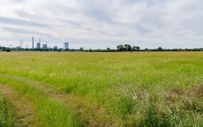
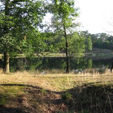
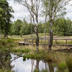
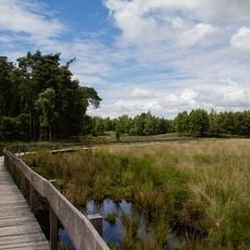
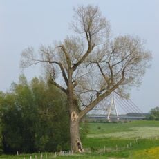
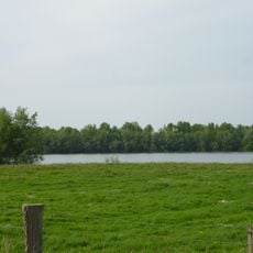
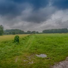
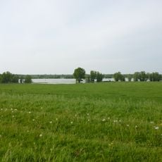
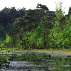
The Vogelschutzgebiet Unterer Niederrhein is a protected nature area along the Rhine River consisting of reed marshes, abandoned water bodies, and open grasslands spread across several districts. The landscape features flat terrain with extensive wetlands and meadows that form a mosaic of different habitats for water birds and ground nesting species.
The area was designated as a bird protection zone in 1983 after populations of many species had declined dramatically due to habitat loss and environmental changes. Since then it has become part of a European network aimed at safeguarding migratory and resident bird populations.
The wetlands here host seasonal gatherings of water birds and waders that arrive and depart with the changing seasons. Locals and visitors alike have grown accustomed to seeing flocks settle in the marshes, making bird watching part of the rhythm of life in this region.
Visitors can watch birds from several observation points and viewing platforms that are reached via marked paths. The area is open year-round, though spring and autumn offer the best conditions for spotting the largest flocks as they pass through.
The area functions as a hub for migratory birds that travel between African wintering grounds and northern breeding territories, making the visitor experience shift dramatically with the seasons. Species diversity changes month to month as new arrivals appear and others depart.
The community of curious travelers
AroundUs brings together thousands of curated places, local tips, and hidden gems, enriched daily by 60,000 contributors worldwide.