Volta Region, Administrative region in eastern Ghana
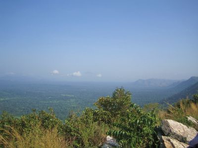
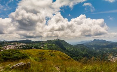
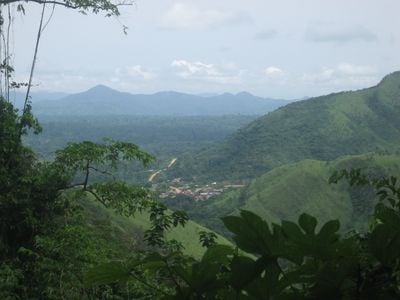
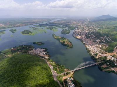
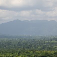
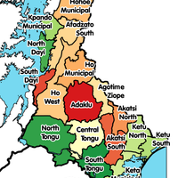
The Volta Region is an administrative area in eastern Ghana that spans from the Atlantic coast to Lake Volta across roughly 20,570 square kilometers. The landscape shows varied terrain including mountains, waterfalls, valleys, and flat coastal plains distributed across 25 administrative districts.
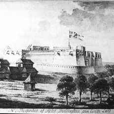
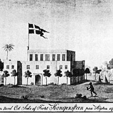
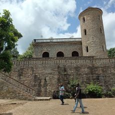
The area formed part of the German protectorate of Togoland until 1914, when it passed under British control and became known as British Togoland. A referendum in 1956 led to its merger with Ghana, shaping a key moment in the nation's modern history.
The Ewe people shape daily life through traditional crafts like weaving and batik-dyeing, which you can observe at local markets and artisan workshops throughout the area. These customs come alive during annual celebrations such as the Hogbetsotso Festival, where visitors experience local traditions firsthand.
Ho serves as the capital and main transportation hub, making it the best starting point for exploring attractions and communities throughout the area. Plan your visit during the dry season when roads are most passable and weather conditions remain stable.
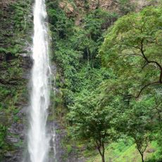
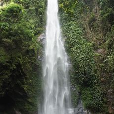
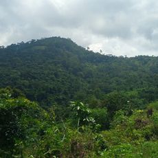
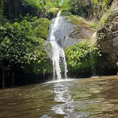
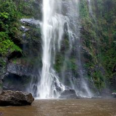
Mount Afadja and Wli Waterfalls represent the highest mountain and tallest waterfall in the country, set within forested areas rich with plant life. These natural landmarks draw hikers and nature enthusiasts who seek out the steep elevation changes and clear waters firsthand.
The community of curious travelers
AroundUs brings together thousands of curated places, local tips, and hidden gems, enriched daily by 60,000 contributors worldwide.